 Under Contract
 Under Contract
 Under Contract
 Under Contract
 Under Contract
 Under Contract
 Under Contract
 Under Contract
 Under Contract
 Under Contract
 Under Contract
 Under Contract
 Under Contract
 Under Contract
 Under Contract
 Under Contract
 Under Contract
 Under Contract
 Under Contract
 Under Contract
 Under Contract
 Under Contract
 Under Contract
 Under Contract
 Under Contract
 Under Contract
 Under Contract
 Under Contract
 Under Contract
 Under Contract
 Under Contract
 Under Contract
 Under Contract
 Under Contract
2460N County Highway FF, Butternut, WI 54514
2 beds · 1 bath · 1,176 sqft · $121/sqft · 22 acres · Built 1950
MLS# 1602950
About 2460N County Highway FF, Butternut, WI 54514
(957/PB) Make This Offering Your Base Camp! Excellently located off Hwy FF between Butternut and the Turtle Flambeau Flowage.
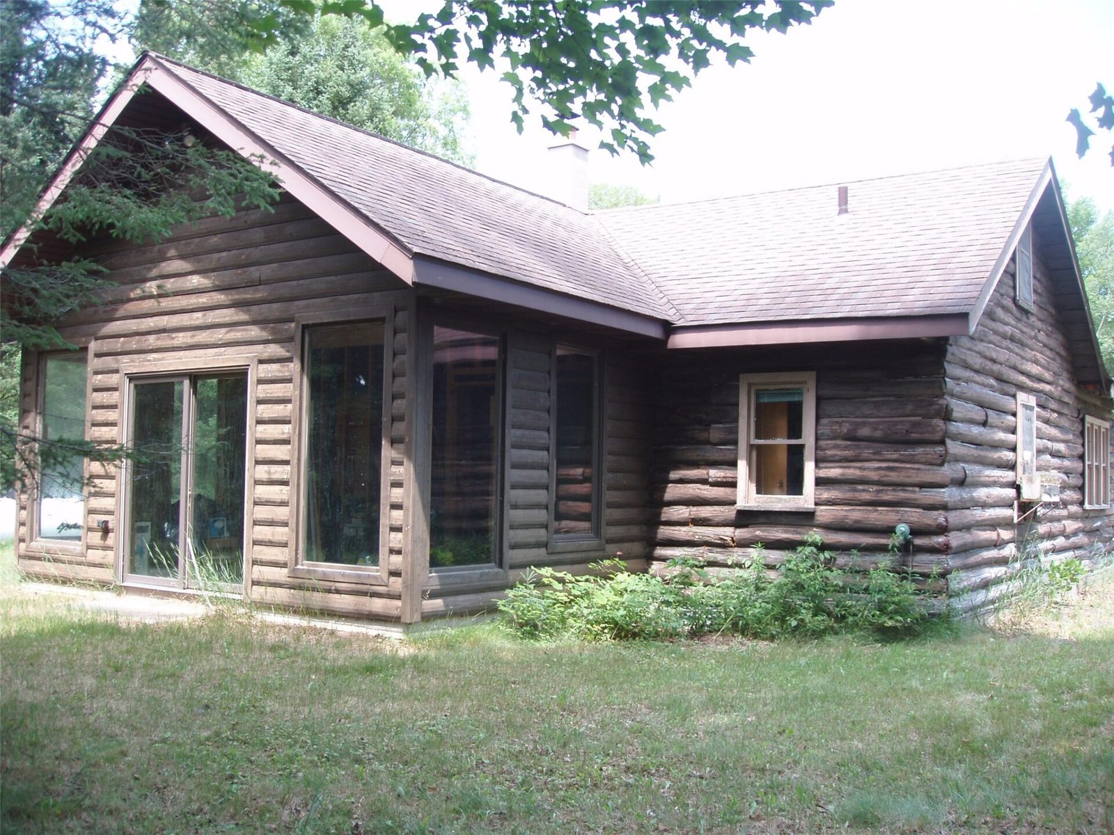
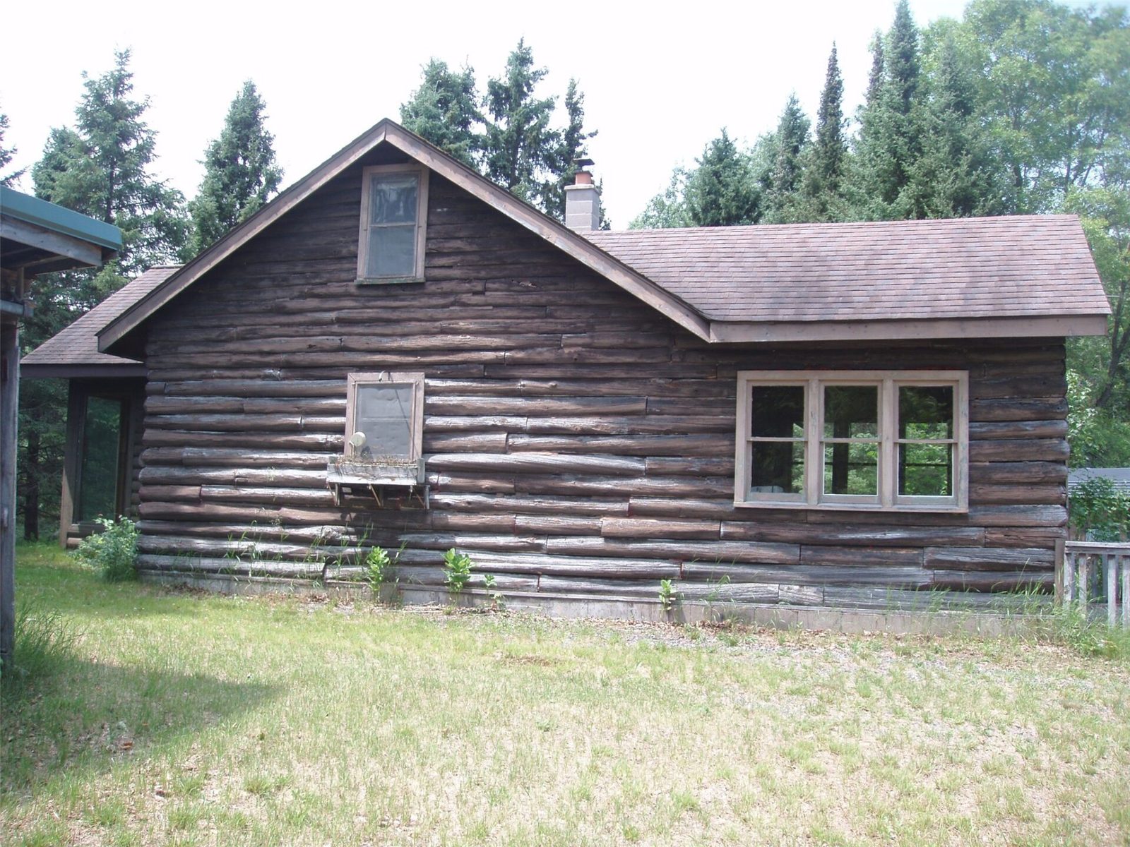
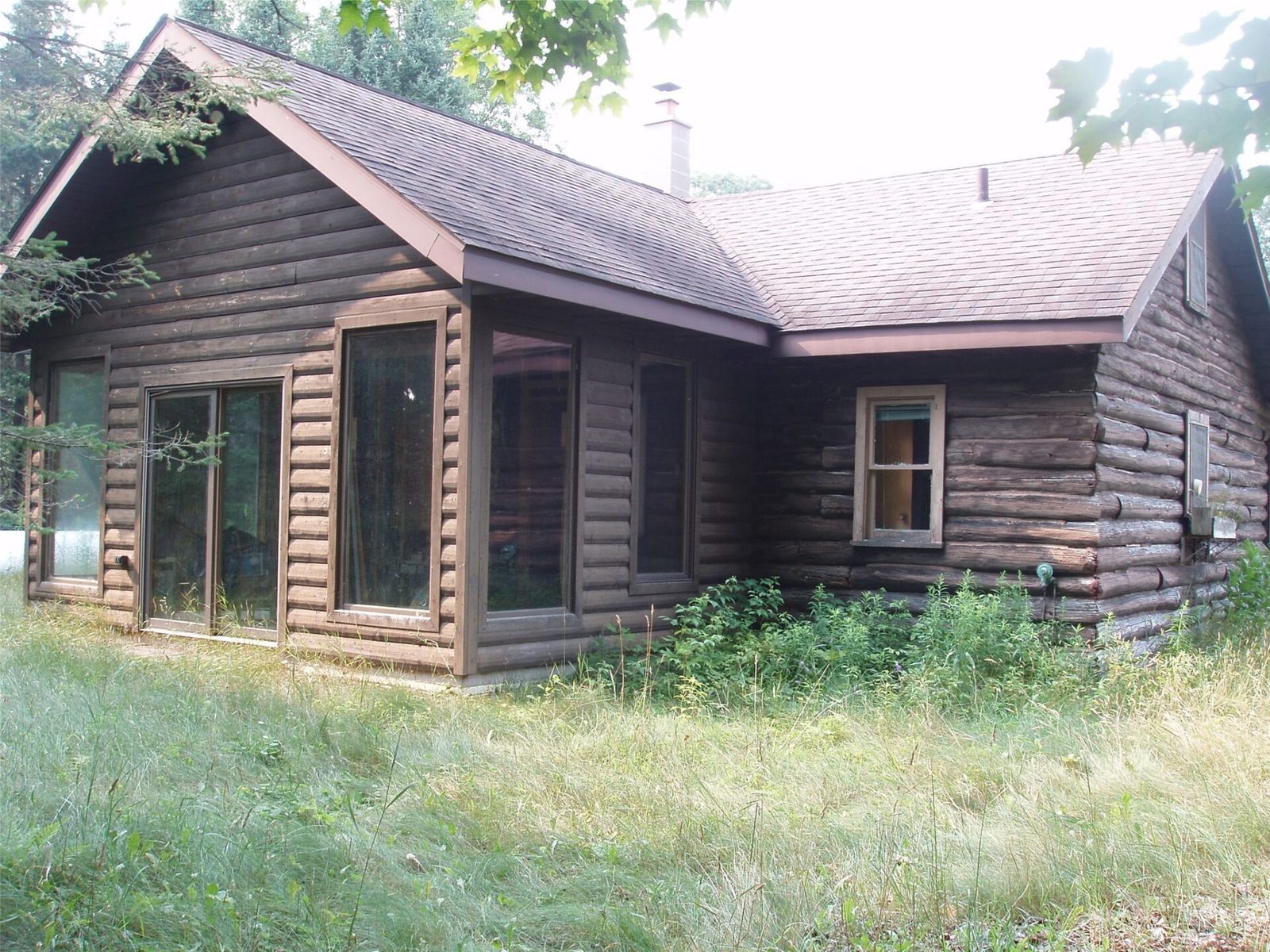
Situated on 22+/- pristine acres is this half log-sided “Old Homesteaders Cabin”.
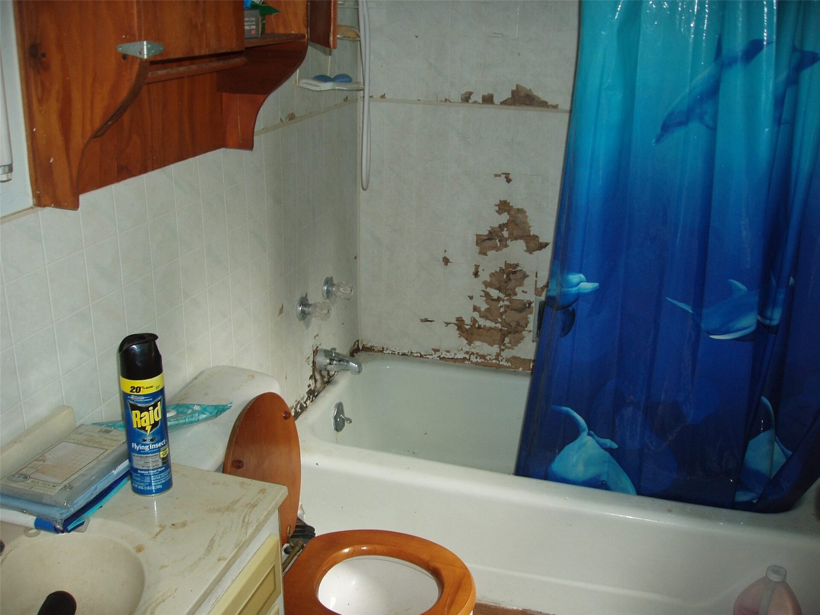
The cabin is a tear down or, at a minimum, an expensive renovation project.
There appears to be a drilled well and some type of septic on site (condition unknown).
26 x 38’ garage with concrete floor and two 8’ overhead doors.
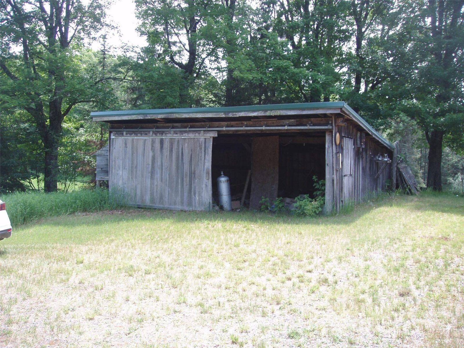
Older 2-car shed with wood storage lean-to attached.
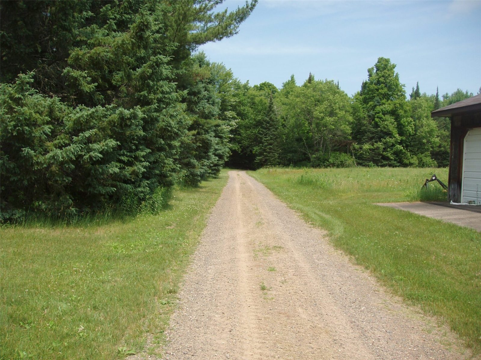
The acreage is a mixture of Northern hardwoods and meadow.
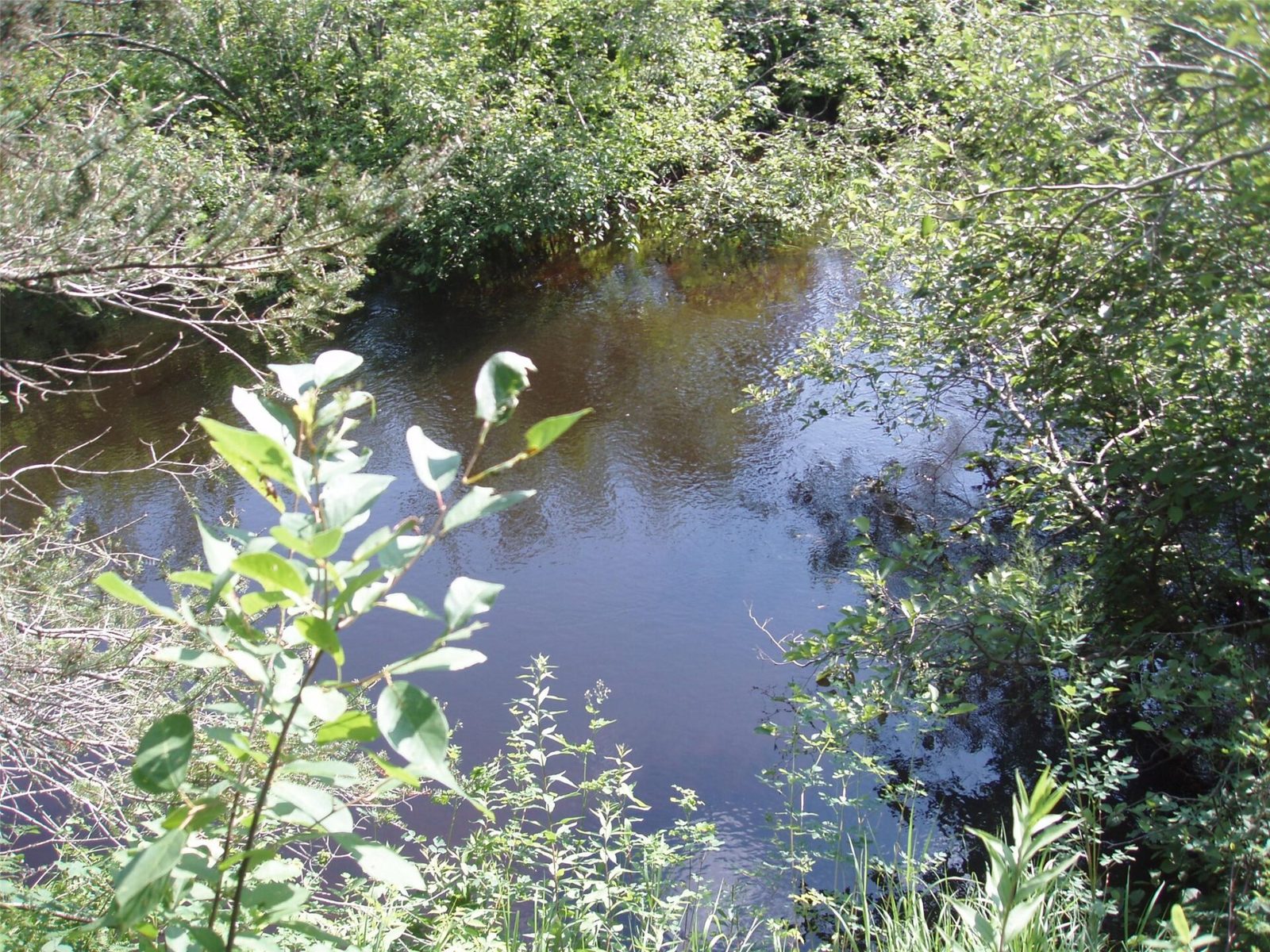
Aerial maps indicate Swamp Creek meanders through the SW corner of the property.
Several miles to a boat launch on the Turtle Flambeau Flowage and 1000’s of acres of Ashland and Iron County-owned public lands.
Handy? This could be an ideal labor of love project for you! Asking $142,500.
Property Details
- Style
- One And One Half Story
- Levels
- One And One Half
- Above Grade Finished
- 696 sq ft
- Possession
- Close Of Escrow
- Heating
- Forced Air
- Electric
- Circuit Breakers
- Water
- Drilled Well
- Sewer
- Other, See Remarks
- Foundation
- Block
- Construction
- Log
- Appliances
- Electric Water Heater
- Basement
- Partial
- Fireplace
- Wood Burning Stove
- Parking
- Detached, Garage
- HOA
- None
- School District
- Mercer
- County
- Iron
- Township
- Town of Mercer
- Directions
- From Park Falls, Hwy 13 north to Butternut, right on Hwy F, approx. 10 miles to private road on right and Fire# 2460N County Rd FF.
- Parcel Number
- 012-0535-0000
- Original List Price
- $149,900
- Legal Description
- Part of the SW NW, 6-41N-2E
- Listing Brokerage
- Birchland Realty Inc./Park Falls
Price & Listing History
-
Jul 2026 · Listed$149,900
-
Under Contract · 68 days since listedFinal price disclosed at closing
Prior price and listing information from sources believed to be reliable, but no guarantees of accuracy and data has not been confirmed. Please confirm with county official documents.
Flood Zone
Source: FEMA National Flood Hazard Layer. Flood maps are updated periodically (typically every 5–10 years per area) and may not reflect current ground conditions or recent improvements. For mortgage purposes, your lender may obtain an official Flood Determination from a licensed firm. Always verify before making decisions.
Location
Butternut Area Schools
- Elementary
- Mercer (district-wide)
- Middle
- Mercer (district-wide)
School information is sourced from public NCES data (assigned public schools from attendance-boundary data; nearby private schools and colleges by distance) and may change. Confirm directly with the school or district before relying on it.
Butternut Property Taxes
- Annual tax
- $1,840.48 (2025)
- Parcel #
012-0535-0000- County
- Iron
Legal: Part of the SW NW, 6-41N-2E