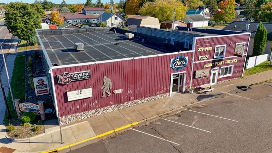


9375 State Highway 13, Port Wing, WI 54865
4,168 sqft · $90/sqft · 1.24 acres
MLS# 1585438
About 9375 State Highway 13, Port Wing, WI 54865
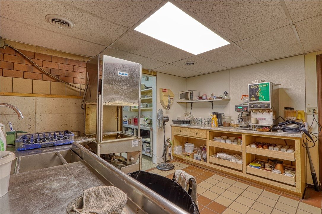
Iconic Bar & Restaurant in Port Wing now available. With 2100 sqft of public space, including a spacious dining area & inviting bar, plus 800 sqft dedicated to kitchen, prep, & storage, this property is designed for smooth operations. Two half-bathrooms are available for customers’ convenience. The bar area currently seats 13 at the counter, w/ an additional 4 high tables & 20 chairs. The dining area features 9 tables w/ seating for 36, centered around a stunning, one-of-a-kind petrified wood gas fireplace that adds to the venue’s unique charm. Outdoor seating is also available, complemented by a tiki-style bar area perfect for warm-weather entertaining. Included in the sale is all essential equipment to operate the bar/restaurant. Current inventory is sold separately. Additionally, the property offers a 1268 sqft apartment upstairs, featuring 3 bedrooms & 1 bathroom—ready for a new owner’s touch. A 26×40 pole building provides ample storage space. Profitable business opportunity!
Property Details
- Above Grade Finished
- 4,168 sq ft
- Possession
- Close Of Escrow
- Zoning
- Commercial
- Heating
- Baseboard, Forced Air, Wall Furnace
- Cooling
- Central Air, Window Units
- Water
- Public
- Sewer
- Public Sewer
- Foundation
- Poured
- Construction
- Hardboard, Log, Vinyl Siding, Wood Siding
- Interior Features
- Other, See Remarks, Storage
- School District
- South Shore
- County
- Bayfield
- Township
- Port Wing
- Directions
- From Port Wing: East on State Hwy 13 to just before Flagg Rd on the right.
- Parcel Number
- 34253
- Original List Price
- $400,000
- Legal Description
- LOT 1-2 CSM #1472 IN V.9 P.10 (LOCATED IN NE SW) IN V.951 P.612 SUBJ TO EASE 491A, IN DOC 2022R-596541 491A
- Listing Brokerage
- Woodland Developments & Realty
Price & Listing History
-
Aug 2024 · Listed$400,000
-
Currently active · 665 days on marketNow $375,000
Prior price and listing information from sources believed to be reliable, but no guarantees of accuracy and data has not been confirmed. Please confirm with county official documents.
Flood Zone
Source: FEMA National Flood Hazard Layer. Flood maps are updated periodically (typically every 5–10 years per area) and may not reflect current ground conditions or recent improvements. For mortgage purposes, your lender may obtain an official Flood Determination from a licensed firm. Always verify before making decisions.
Location
- Gas
- Schools
Port Wing Area Schools
School information is sourced from public NCES data (assigned public schools from attendance-boundary data; nearby private schools and colleges by distance) and may change. Confirm directly with the school or district before relying on it.
Port Wing Property Taxes
- Annual tax
- $3,566.72 (2025)
- Parcel #
34253- County
- Bayfield
Legal: LOT 1-2 CSM #1472 IN V.9 P.10 (LOCATED IN NE SW) IN V.951 P.612 SUBJ TO EASE 491A, IN DOC 2022R-596541 491A