


XXX Norman's Landing Road, Webster, WI 54893
19 acres
MLS# 1596092
About XXX Norman's Landing Road, Webster, WI 54893
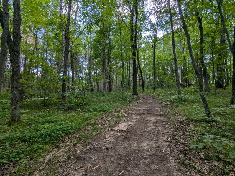
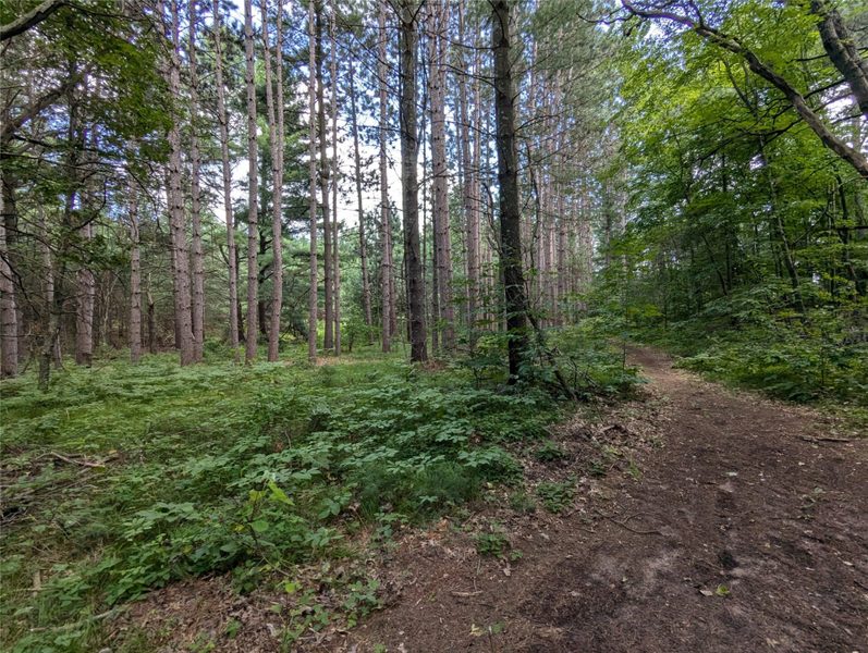
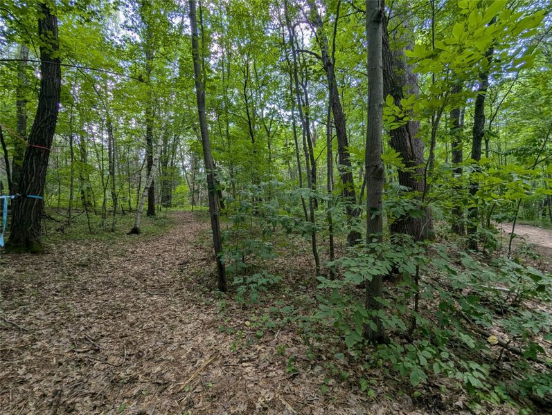
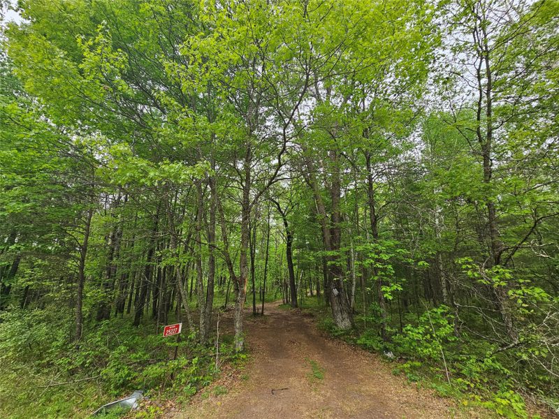
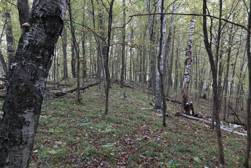
Heavily wooded parcel near a public landing on the Yellow River.
Mostly upland and mature forest with little underbrush for easy walking.
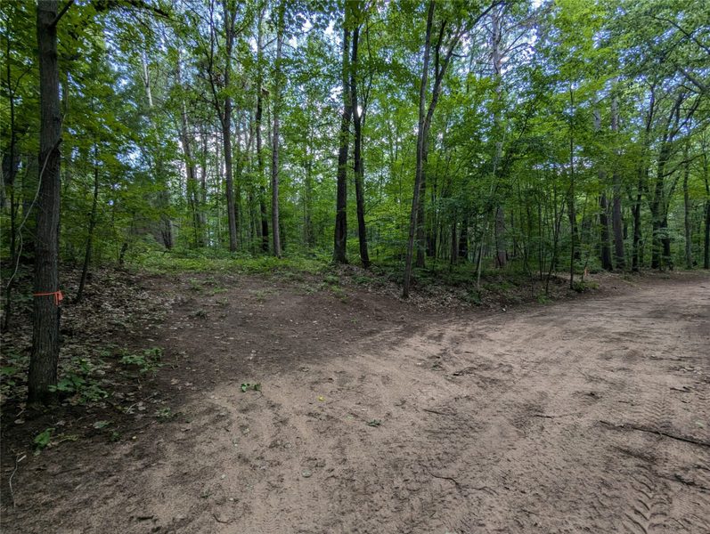
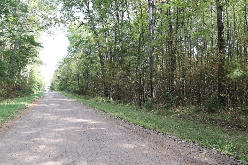
L shaped with approximately 375 feet of frontage on the road.
The south lot line is very near the Yellow River with a great building site overlooking the river.
Property Details
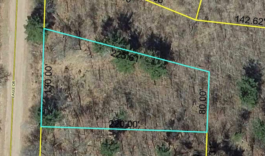
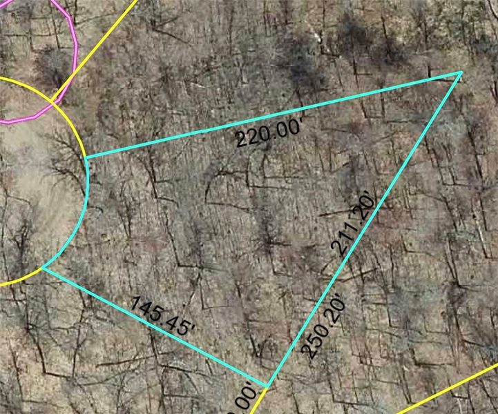
- Lot Dimensions
- 375 x 2242 x
- Possession
- Close Of Escrow
- Zoning
- Forestry, Shoreline, Unzoned
- School District
- Siren
- County
- Burnett
- Township
- Town of Sand Lake
- Directions
- Hwy 35 north to east on County Road X to left on Gaslyn Rd. to right on Norman’s Landing Rd.
- Parcel Number
- TBD
- Original List Price
- $130,000
- Legal Description
- The Southwest Quarter of the Northwest Quarter, Section 22, Township 39 North, Range 15West of the Fourth Principal Meridian.Cont'd in Agent remarks.
- Listing Brokerage
- CENTURY 21 Property Professionals
Flood Zone
Source: FEMA National Flood Hazard Layer. Flood maps are updated periodically (typically every 5–10 years per area) and may not reflect current ground conditions or recent improvements. For mortgage purposes, your lender may obtain an official Flood Determination from a licensed firm. Always verify before making decisions.
Location
- Parks
- Bike trails
- Gas
What's Near XXX Norman's Landing Rd, Webster, WI 54893
Nearby Parks
- 3.4 mi
- 3.5 mi
- 5 mi
Nearby Boat Landings
- 14.8 mi
Nearby Bike Trails
- 9.8 mi
Webster Area Schools
School information is sourced from public NCES data (assigned public schools from attendance-boundary data; nearby private schools and colleges by distance) and may change. Confirm directly with the school or district before relying on it.
Mortgage Calculator
More Land Listings near XXX Norman's Landing Rd Webster, WI 54893