 Under Contract
 Under Contract
 Under Contract
 Under Contract
 Under Contract
 Under Contract
 Under Contract
 Under Contract
 Under Contract
 Under Contract
 Under Contract
 Under Contract
 Under Contract
 Under Contract
 Under Contract
 Under Contract
 Under Contract
 Under Contract
 Under Contract
 Under Contract
 Under Contract
 Under Contract
 Under Contract
 Under Contract
 Under Contract
 Under Contract
 Under Contract
 Under Contract
 Under Contract
 Under Contract
 Under Contract
 Under Contract
 Under Contract
 Under Contract
 Under Contract
 Under Contract
 Under Contract
 Under Contract
 Under Contract
 Under Contract
 Under Contract
 Under Contract
 Under Contract
 Under Contract
 Under Contract
 Under Contract
 Under Contract
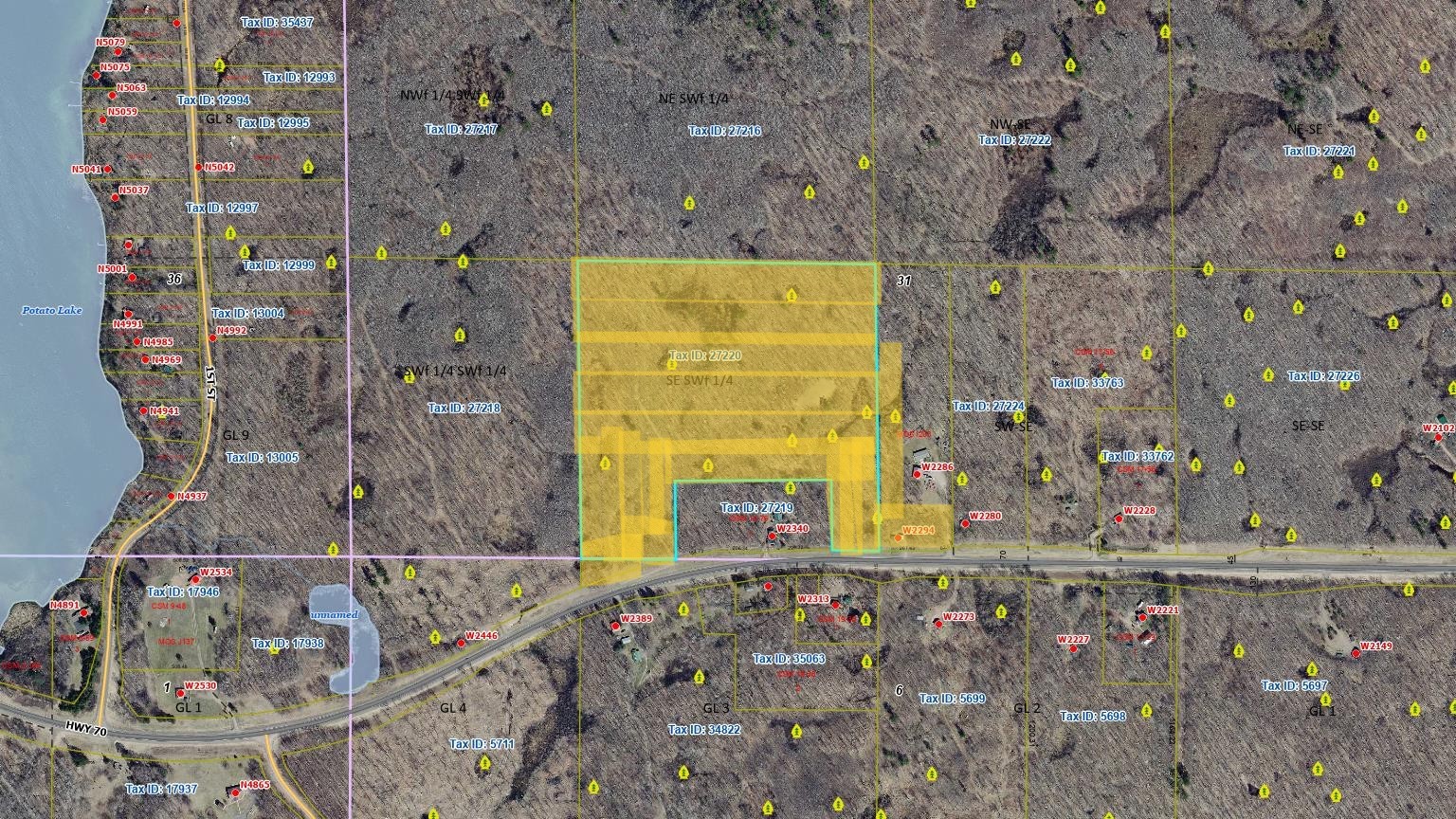
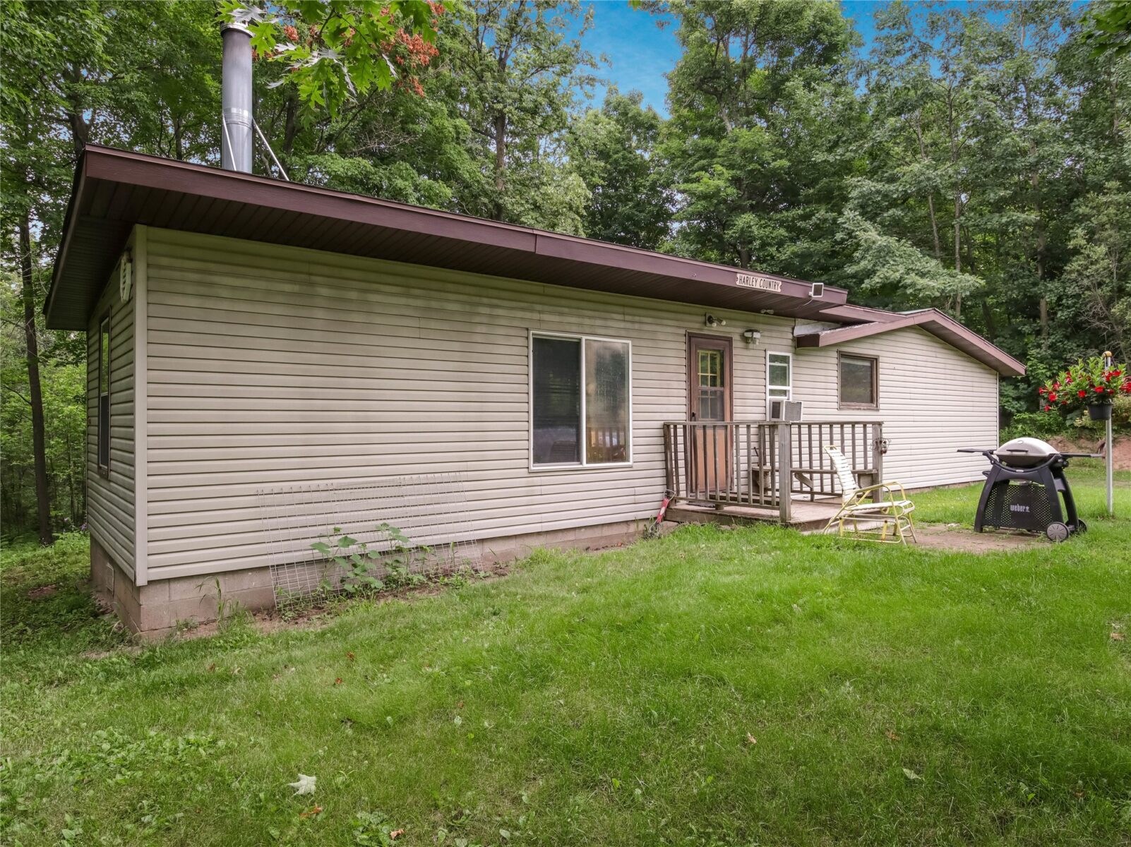
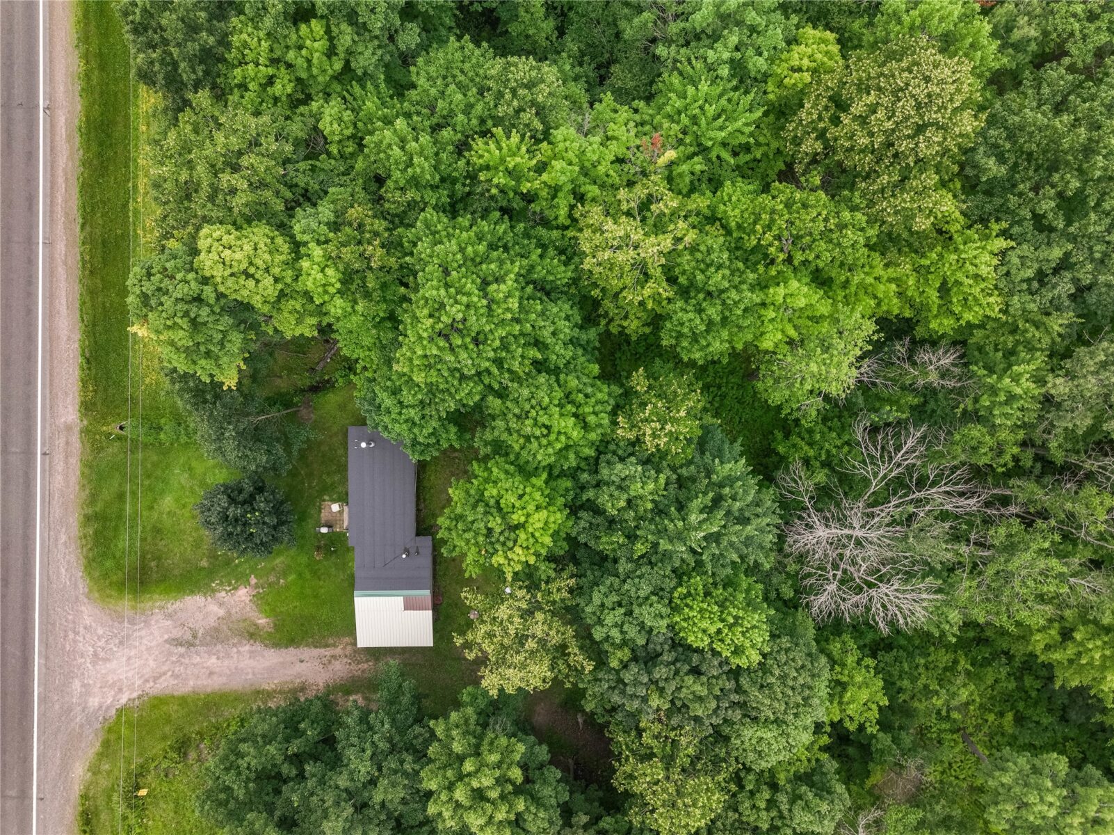
W2294 Highway 70, Spooner, WI 54801
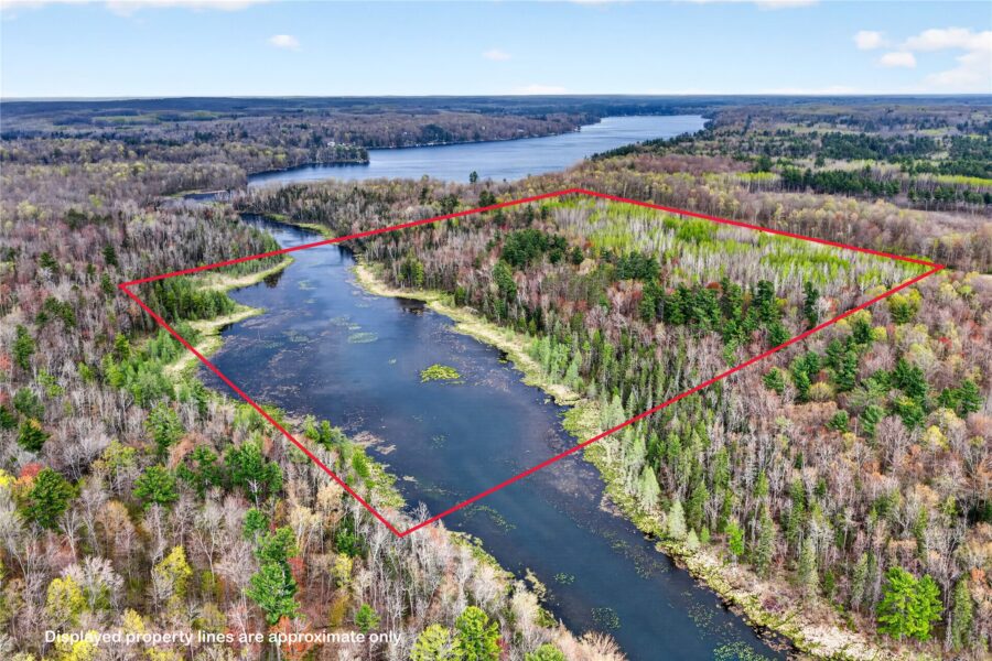
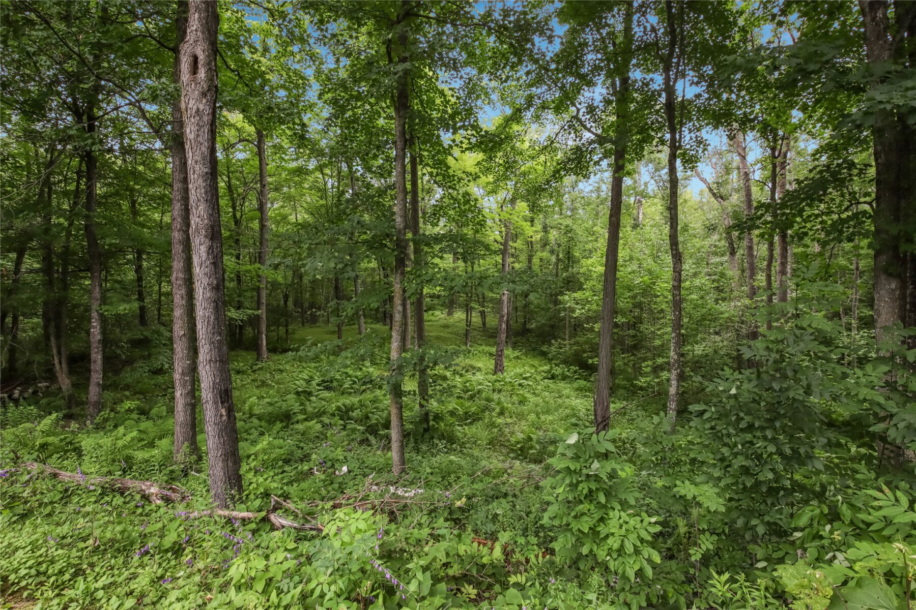
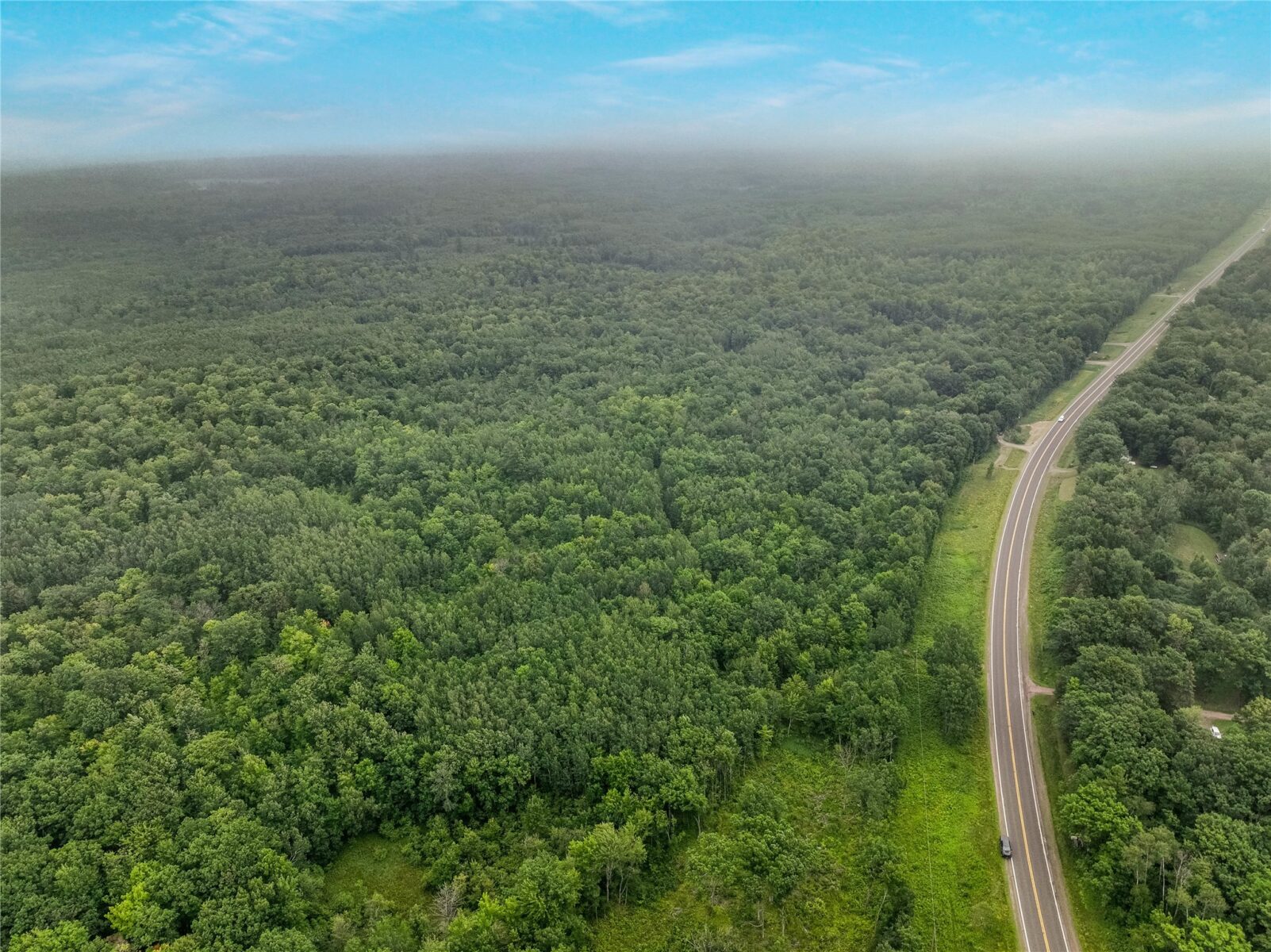
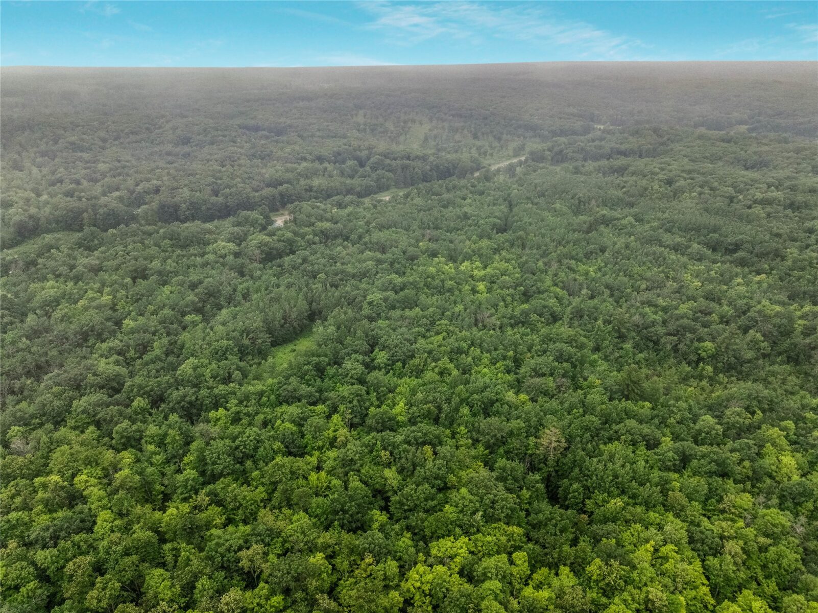
38 acres
MLS# 1599543
About W2294 Highway 70, Spooner, WI 54801
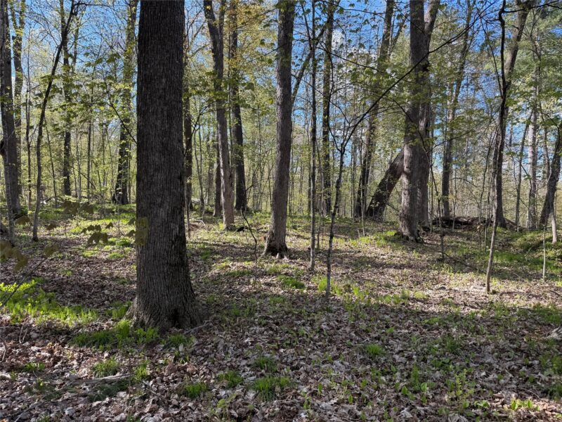
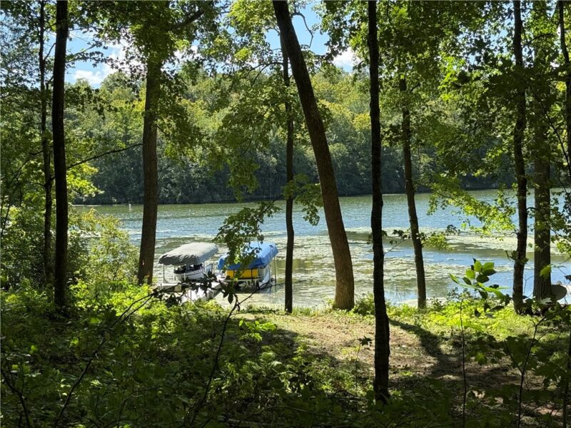
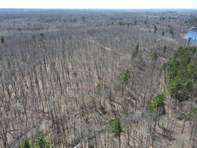
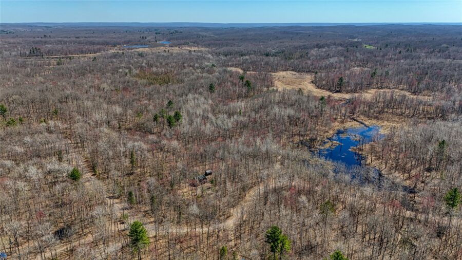
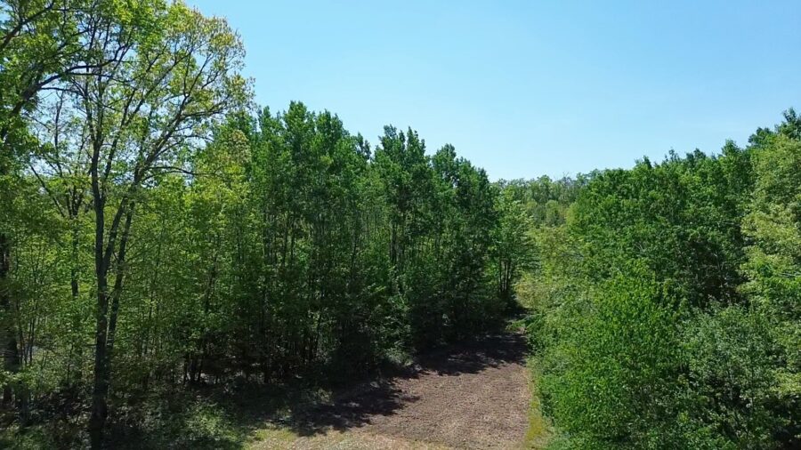
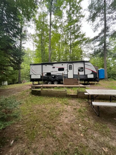
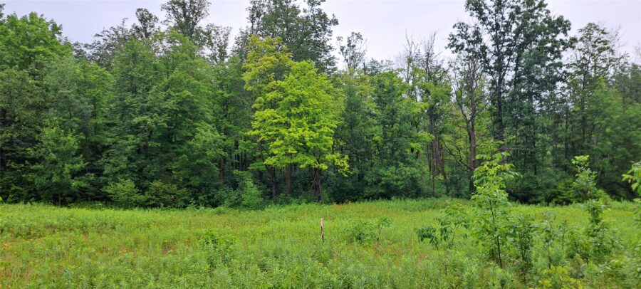
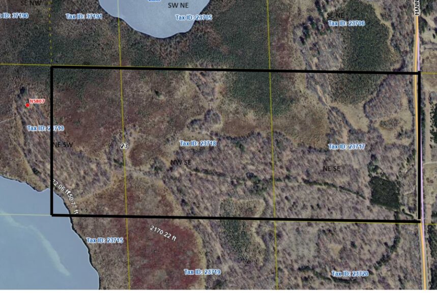
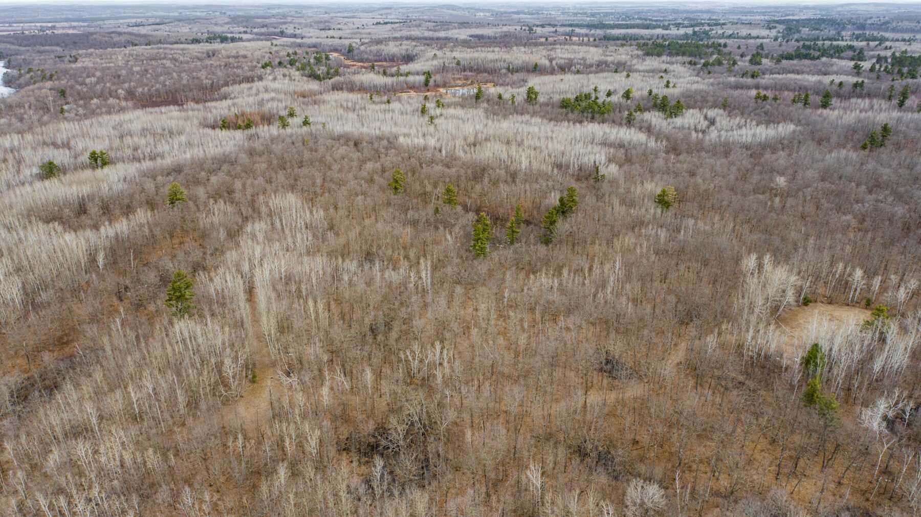
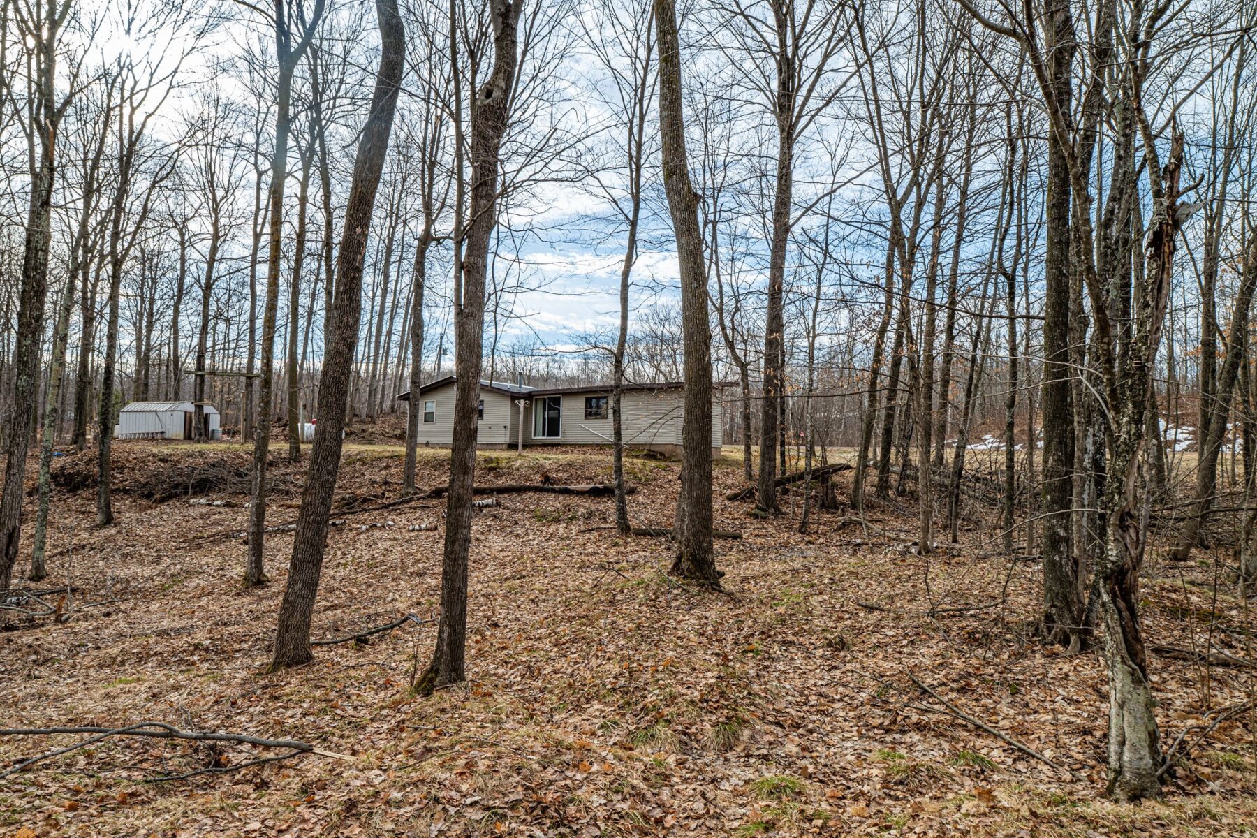
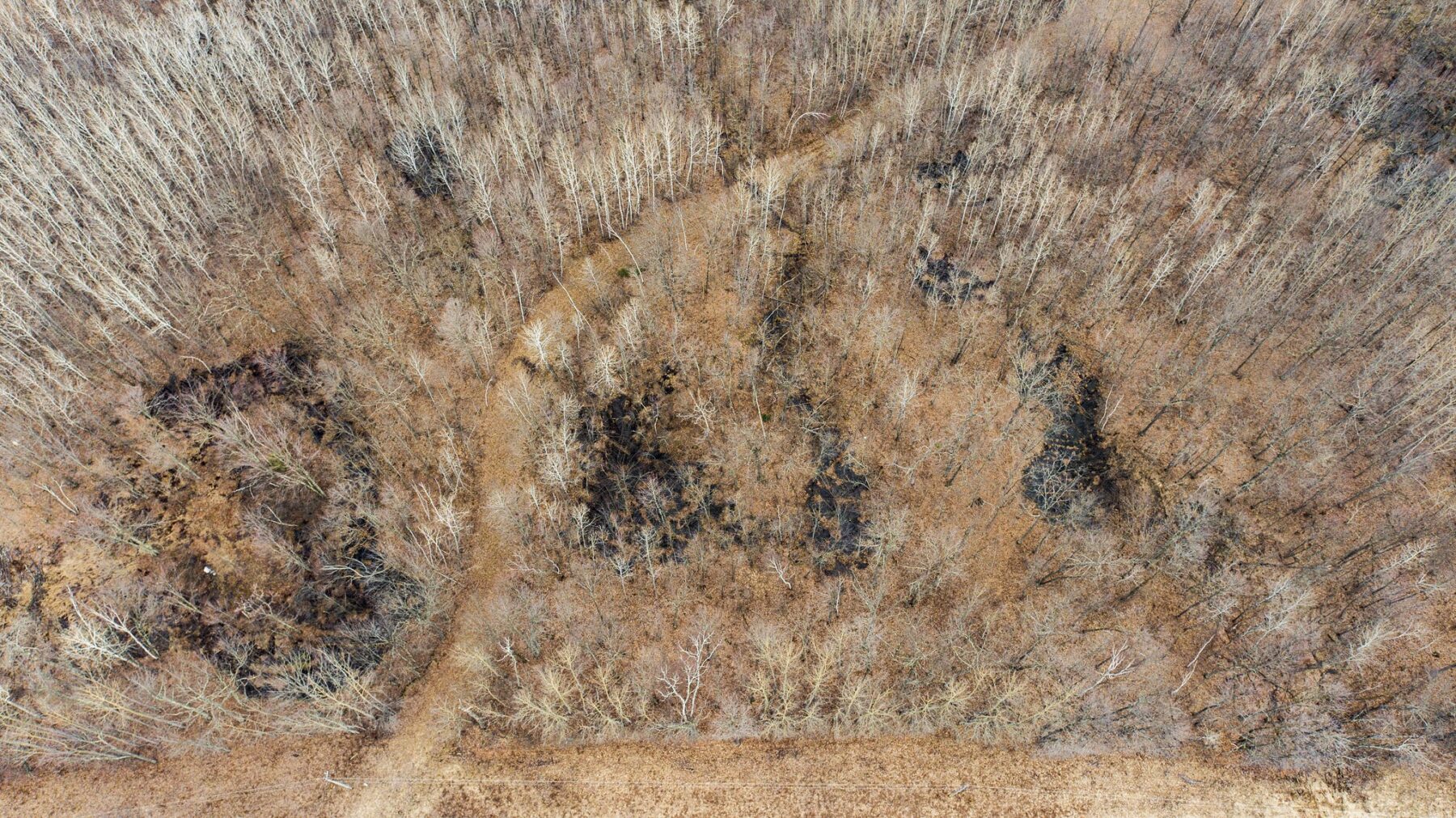
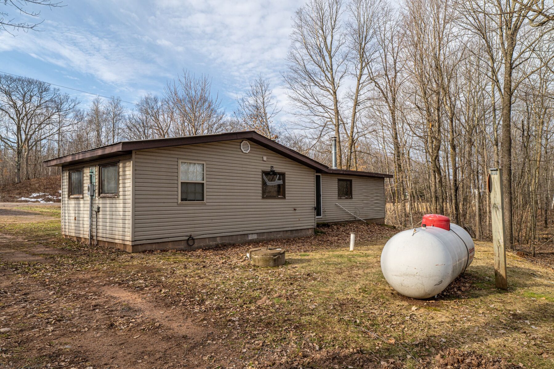
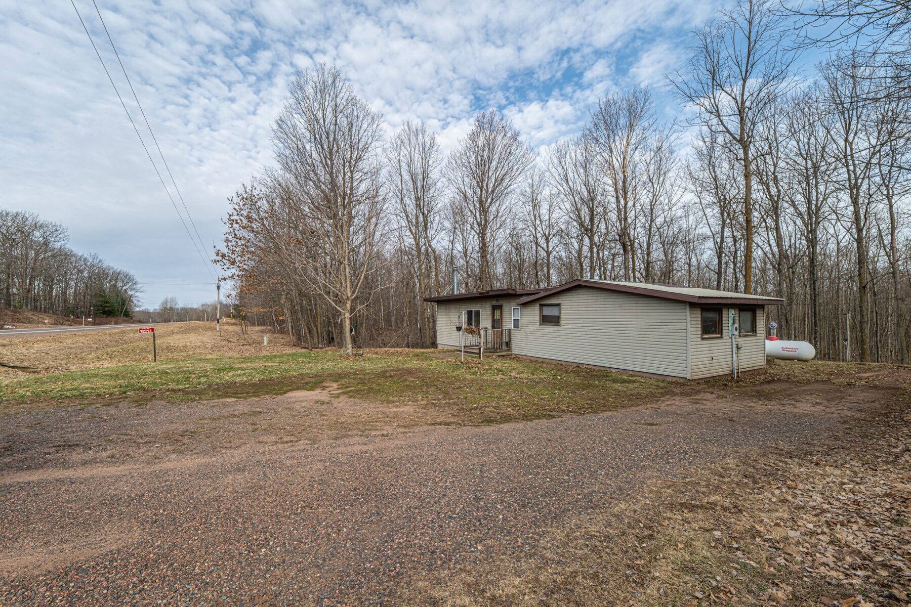
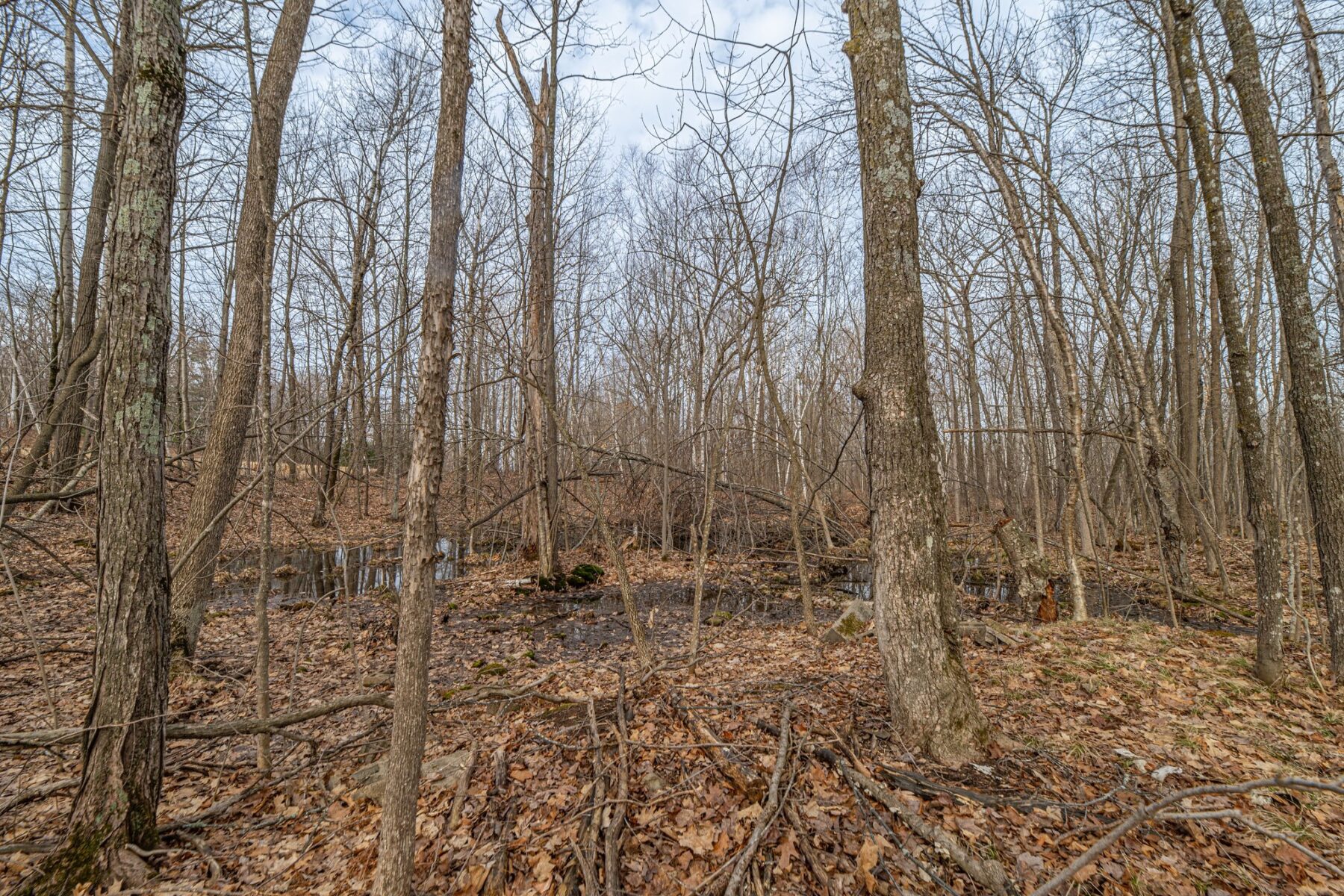
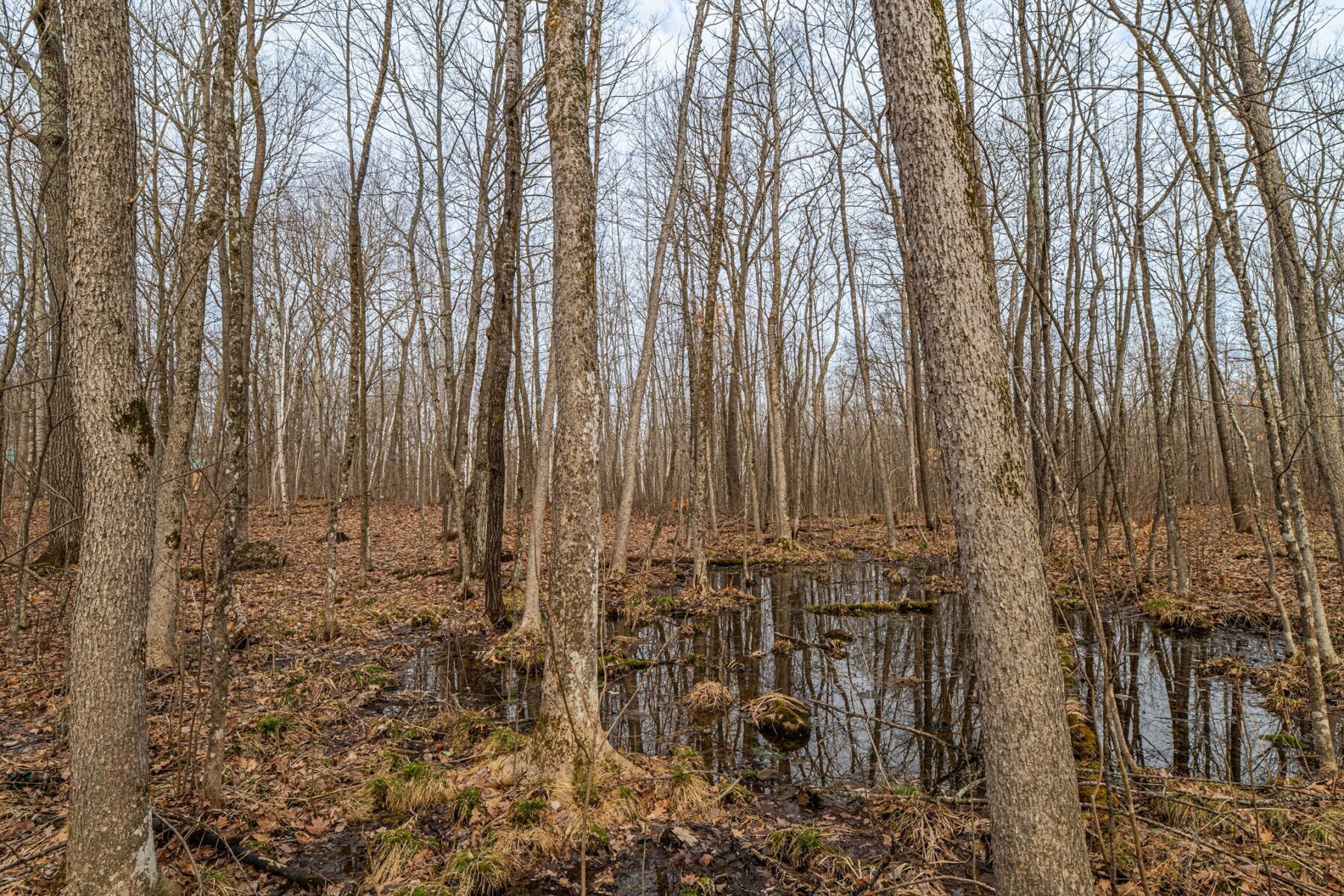
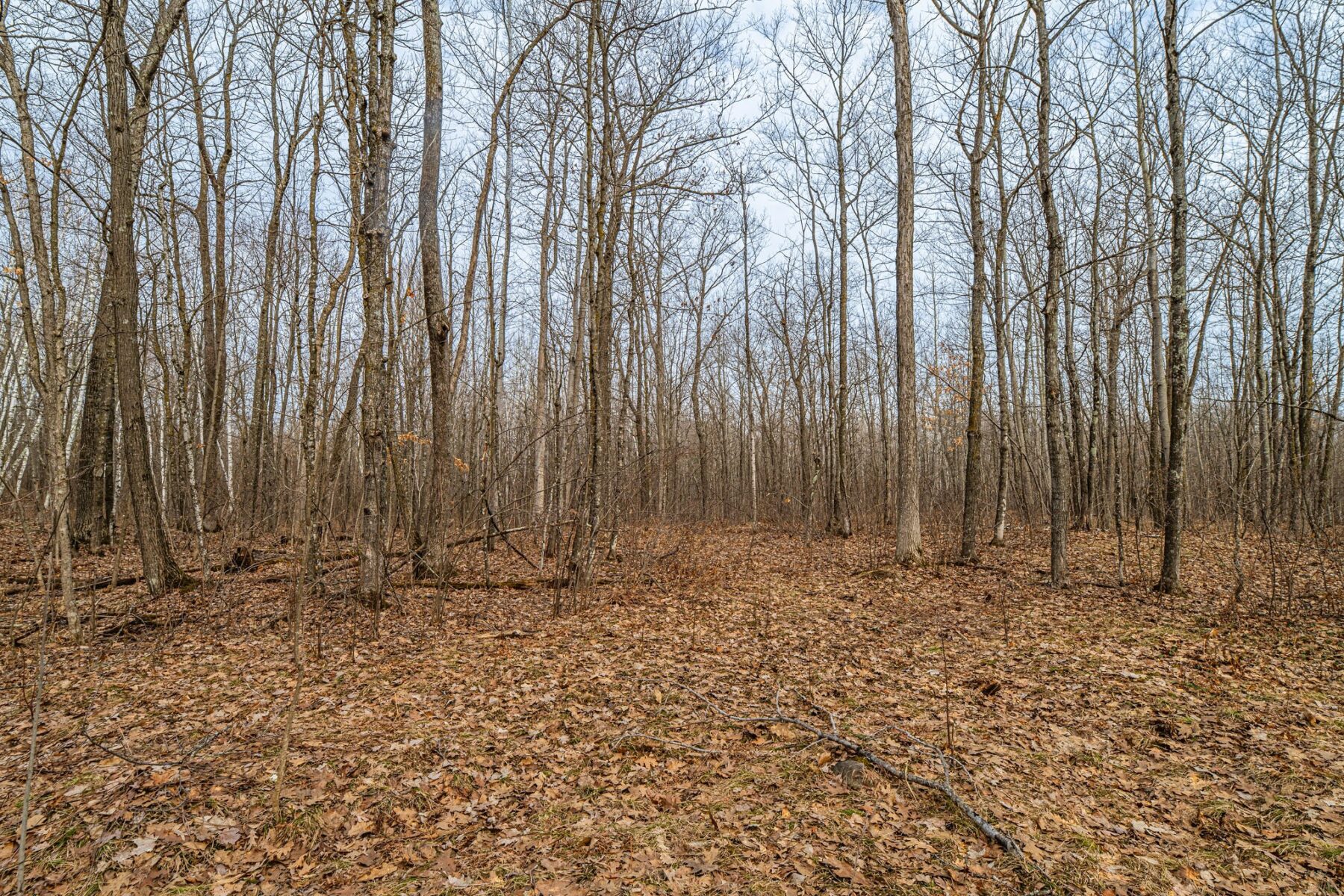
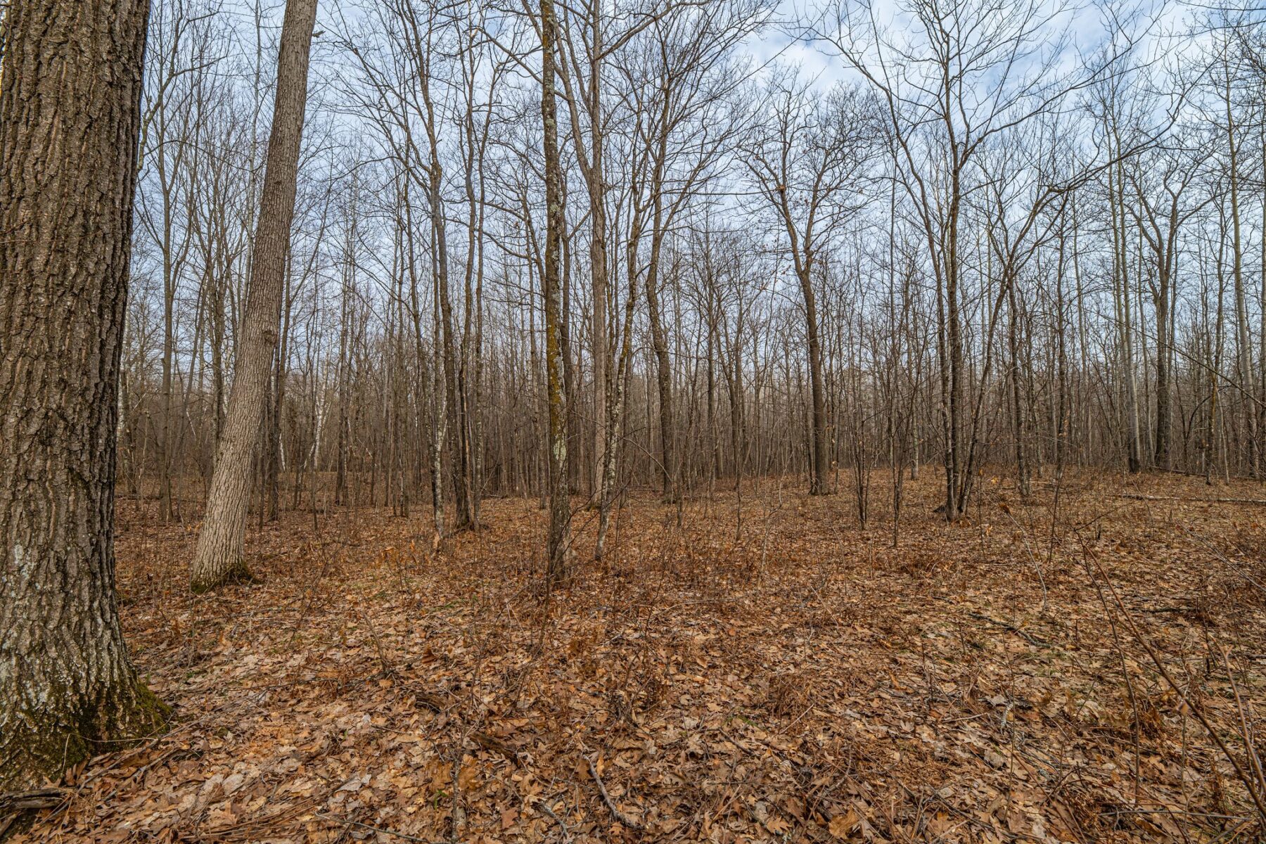
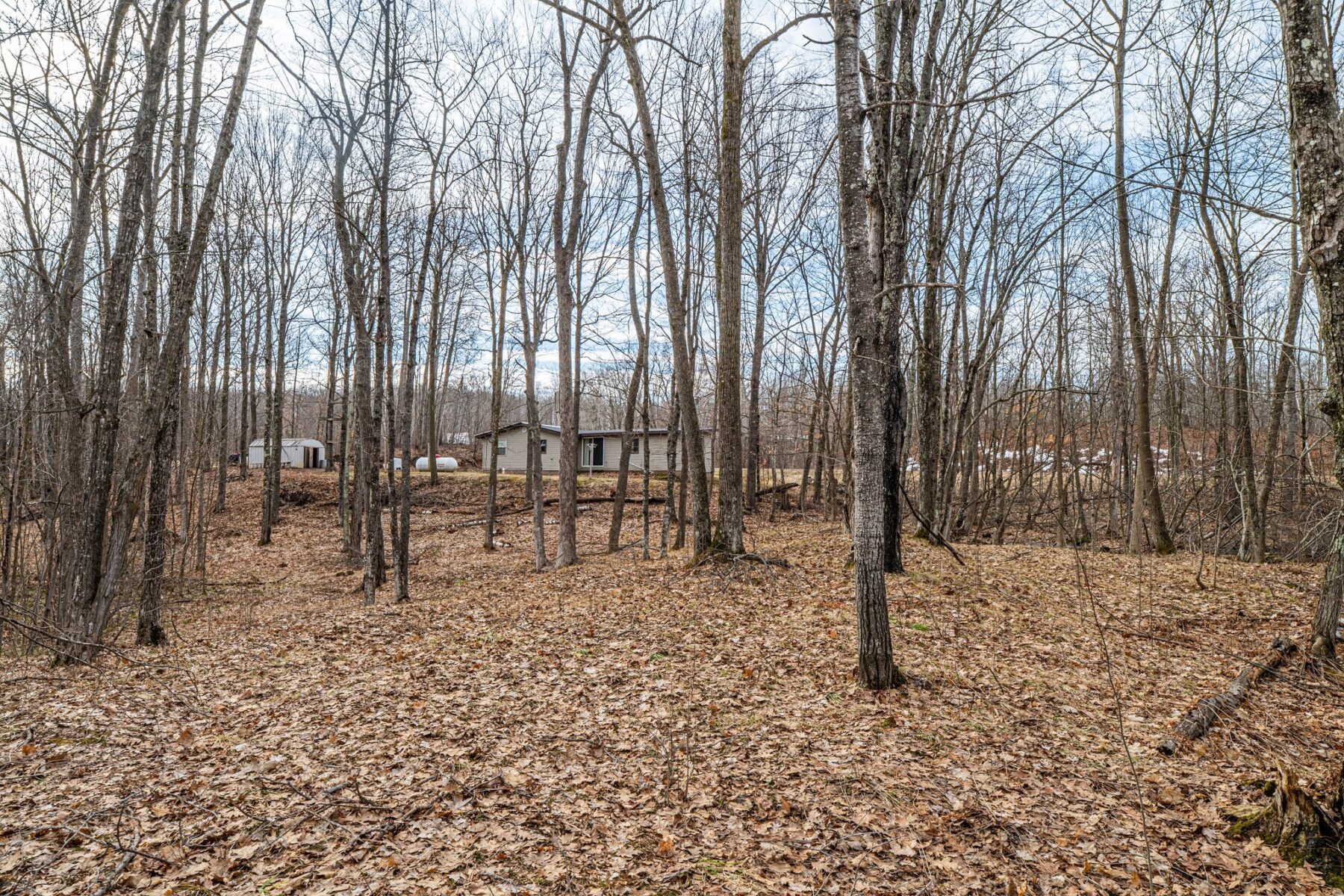
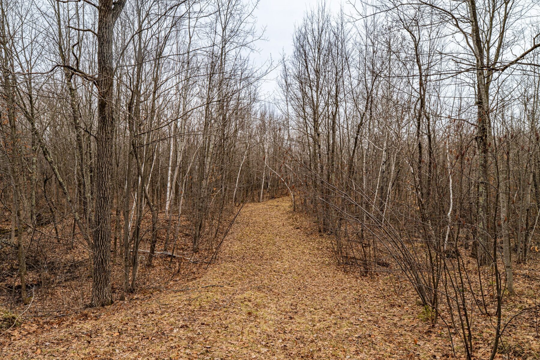
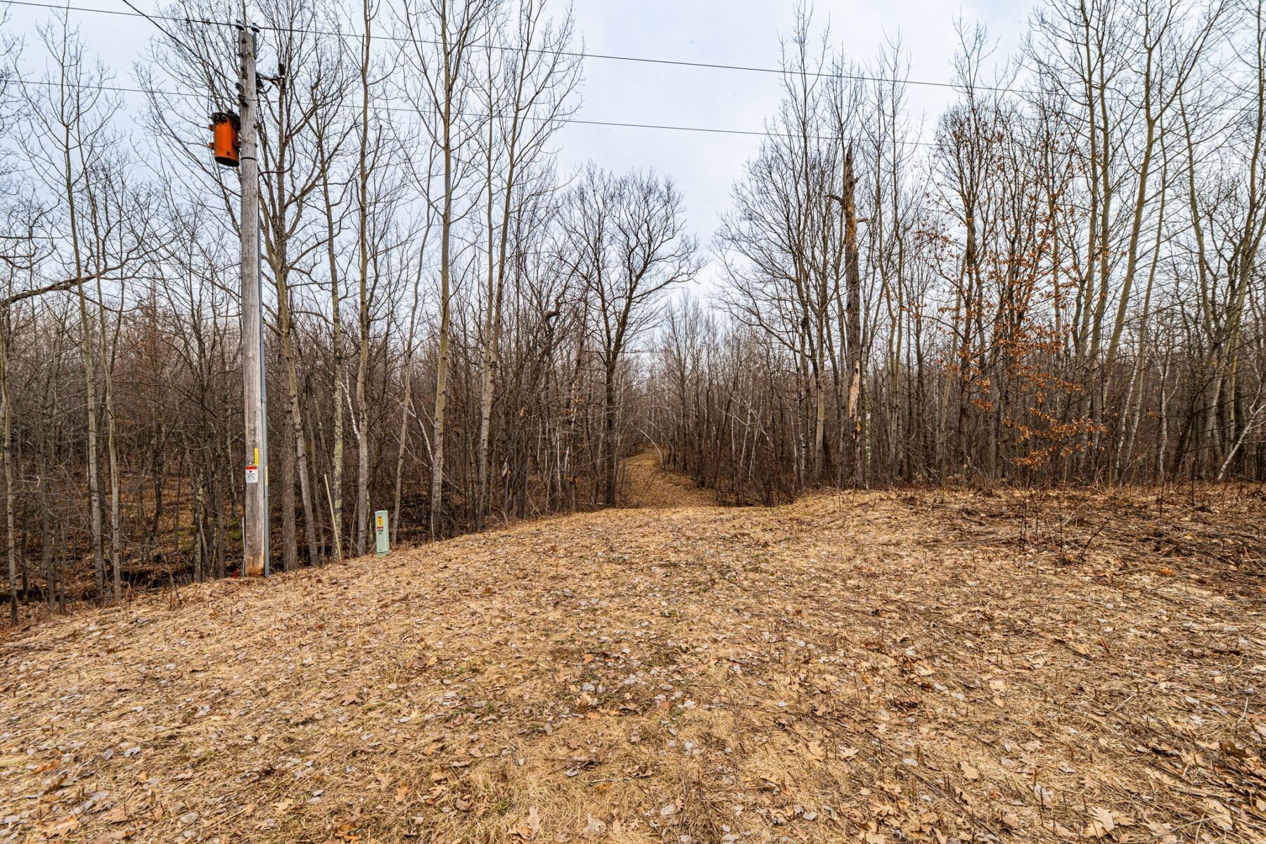
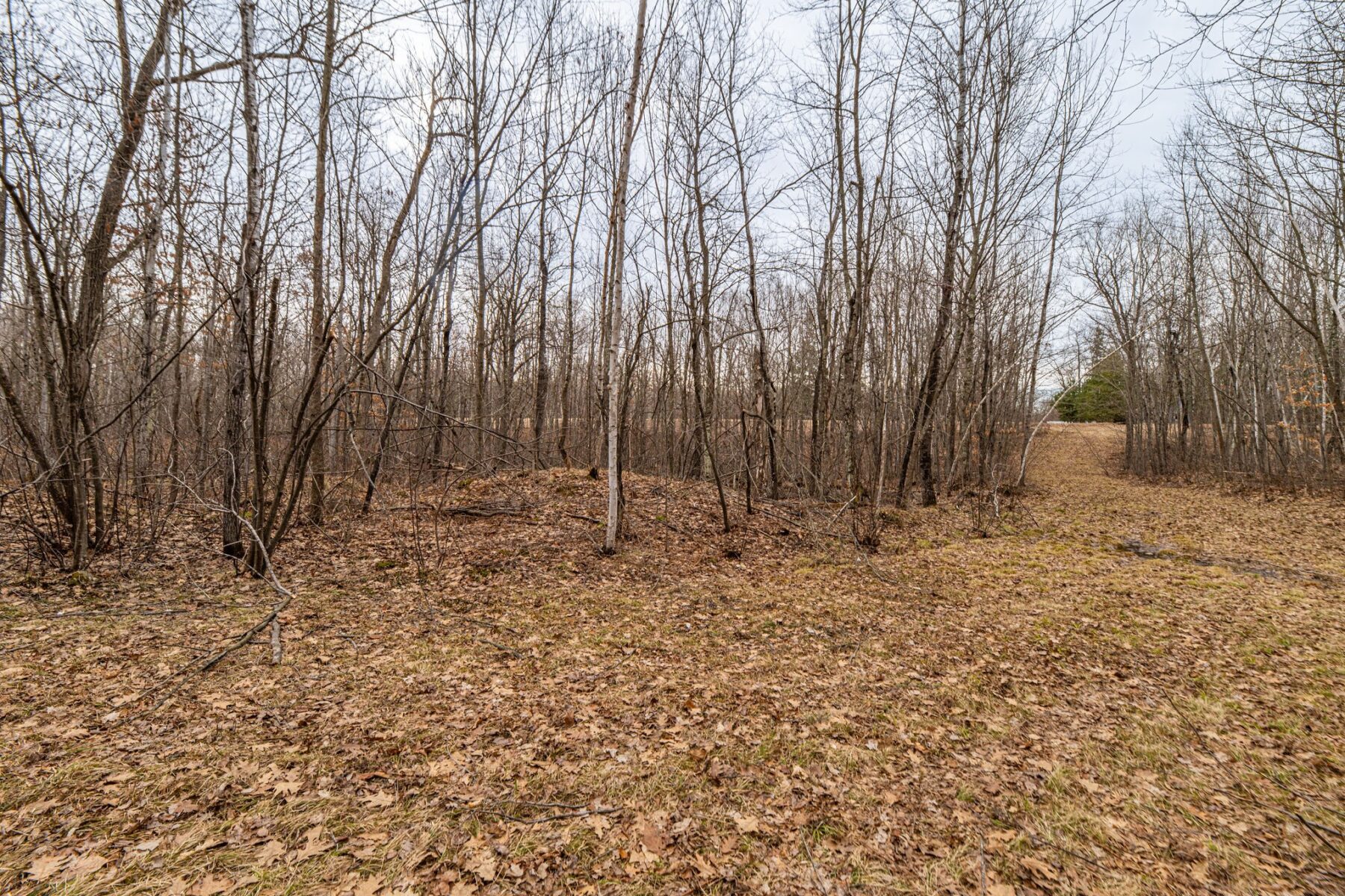
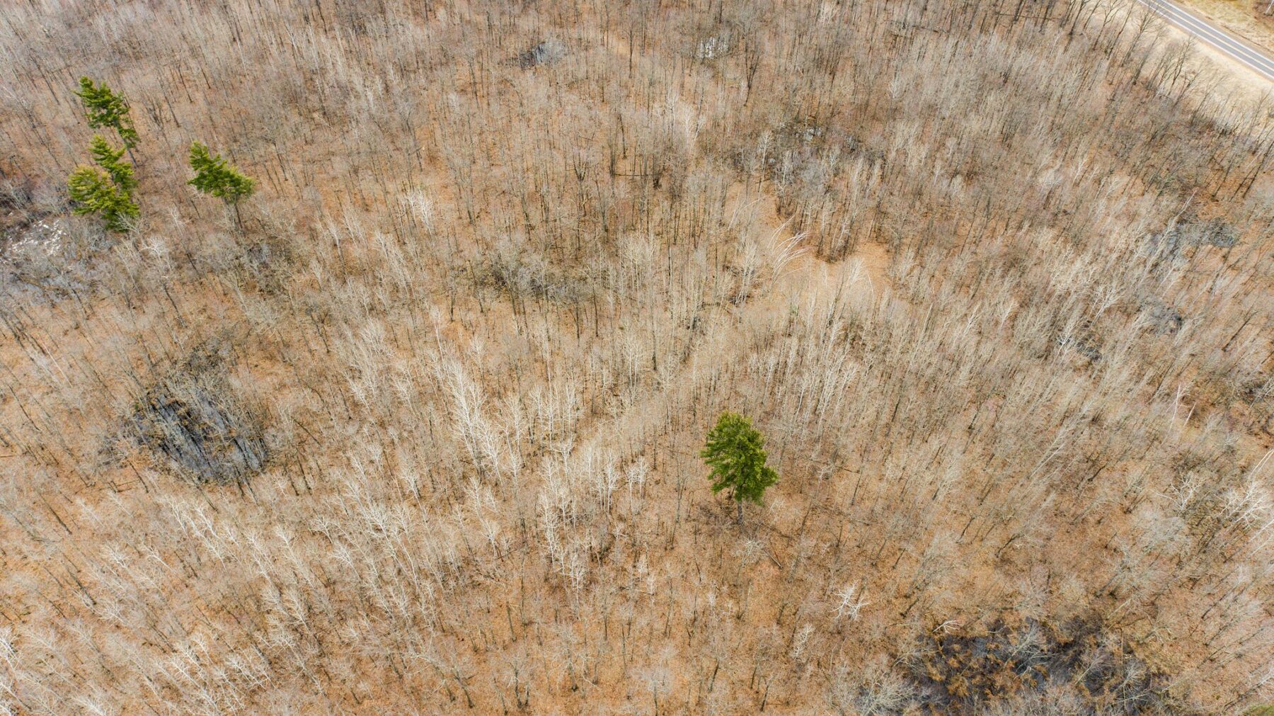
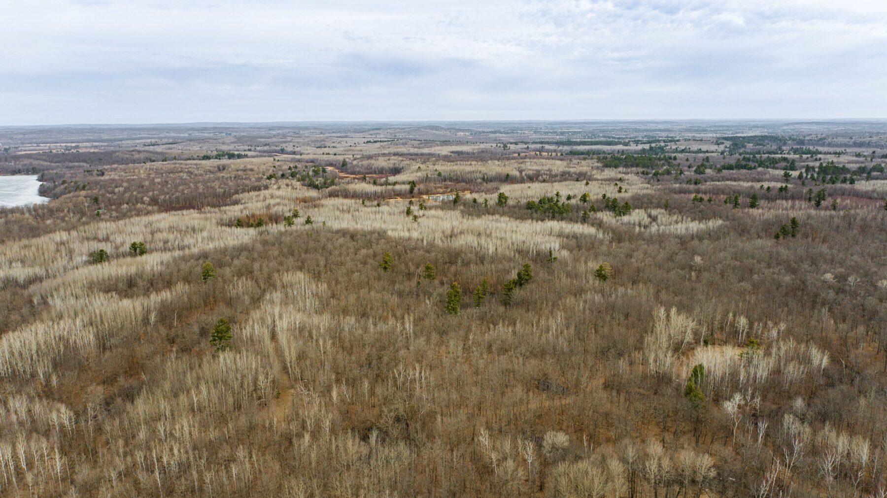
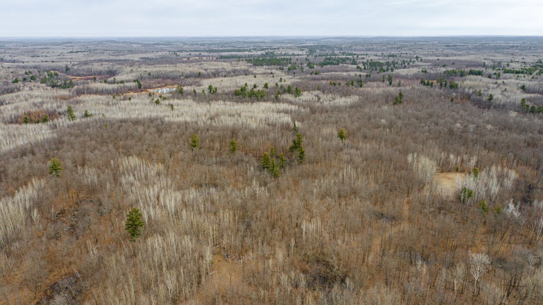
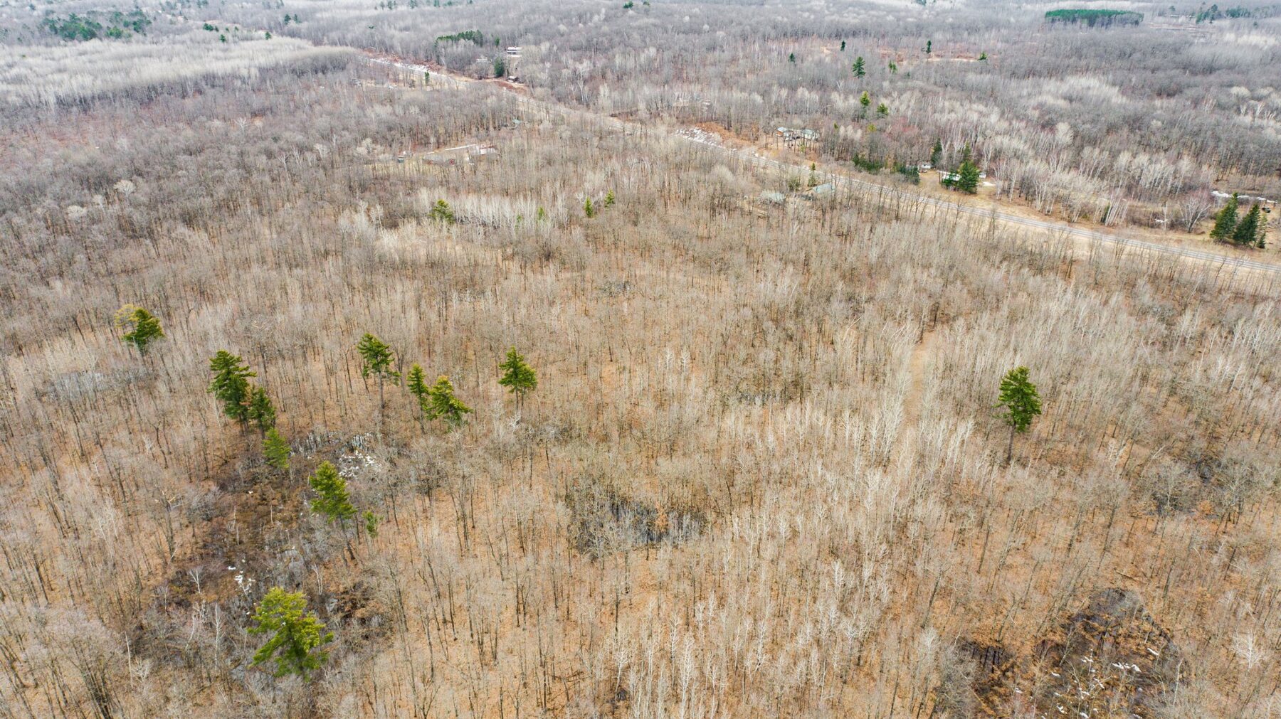
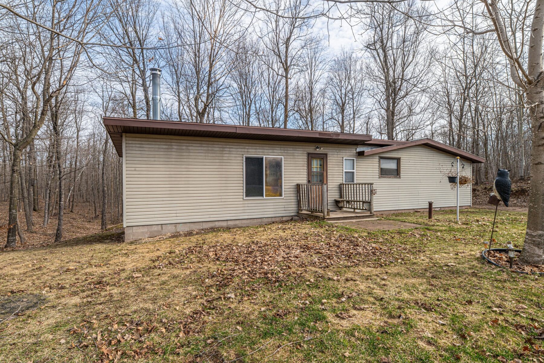
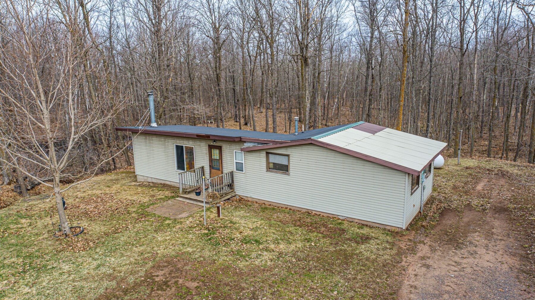
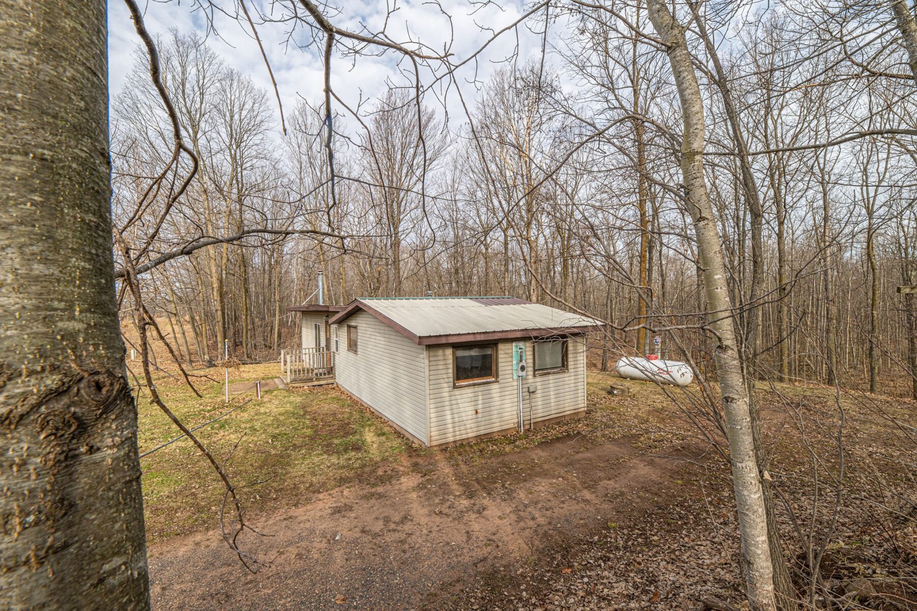
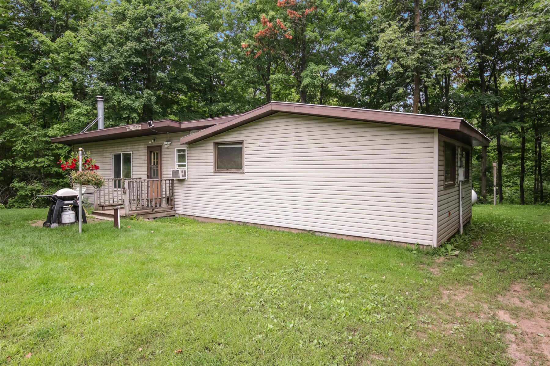
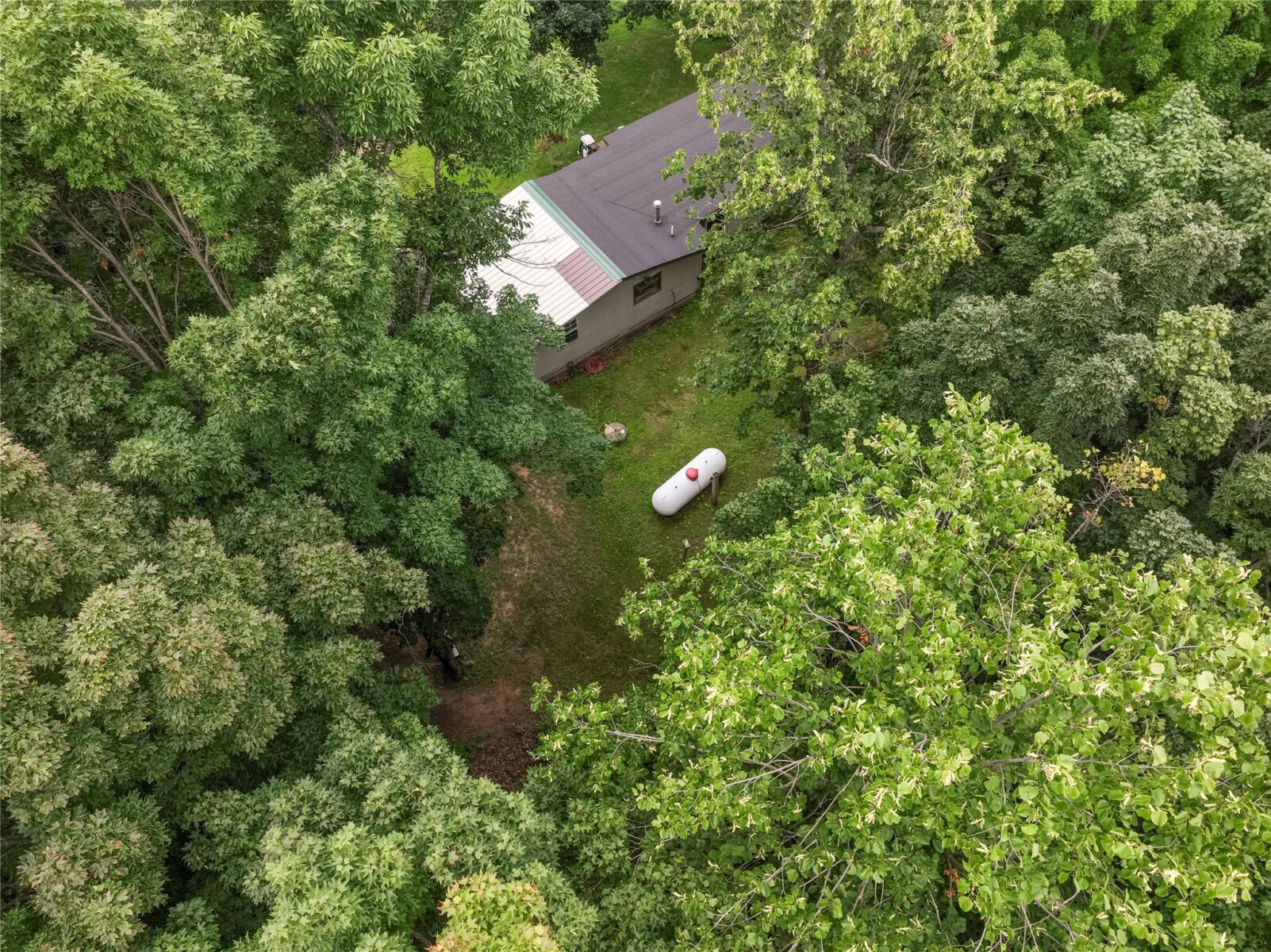
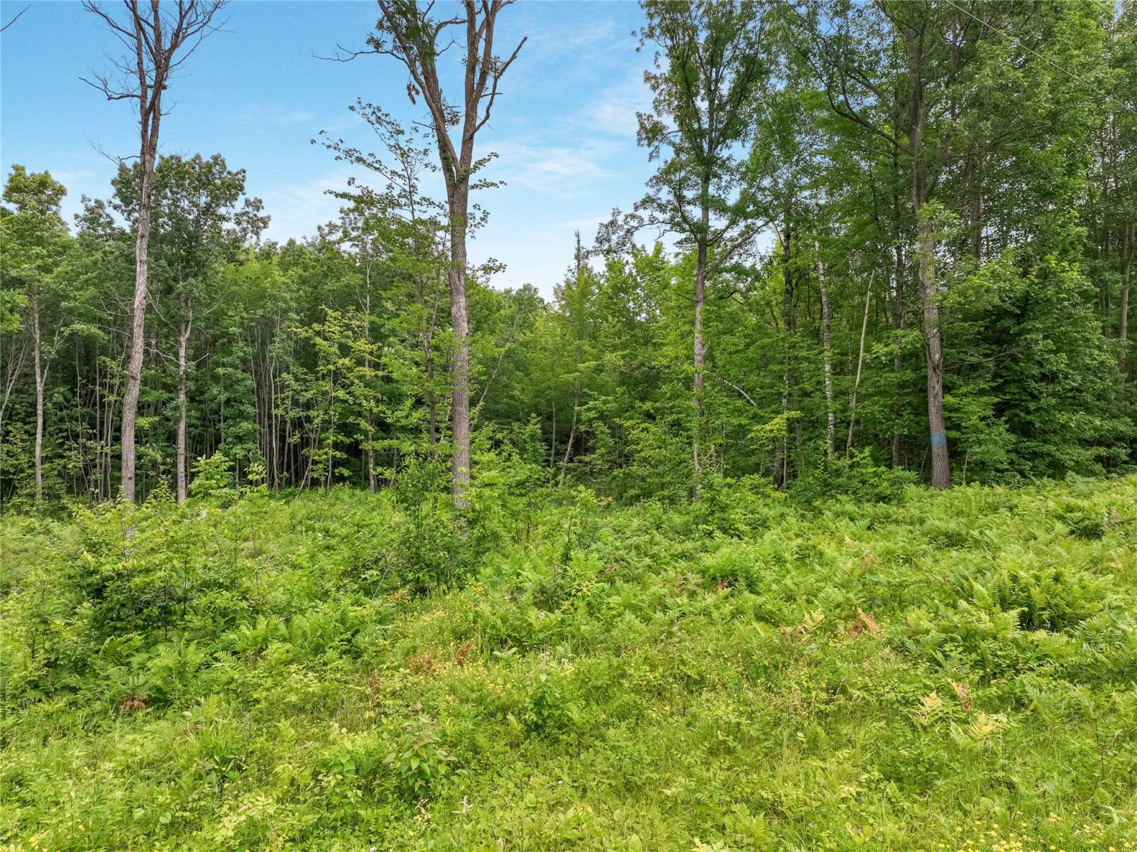
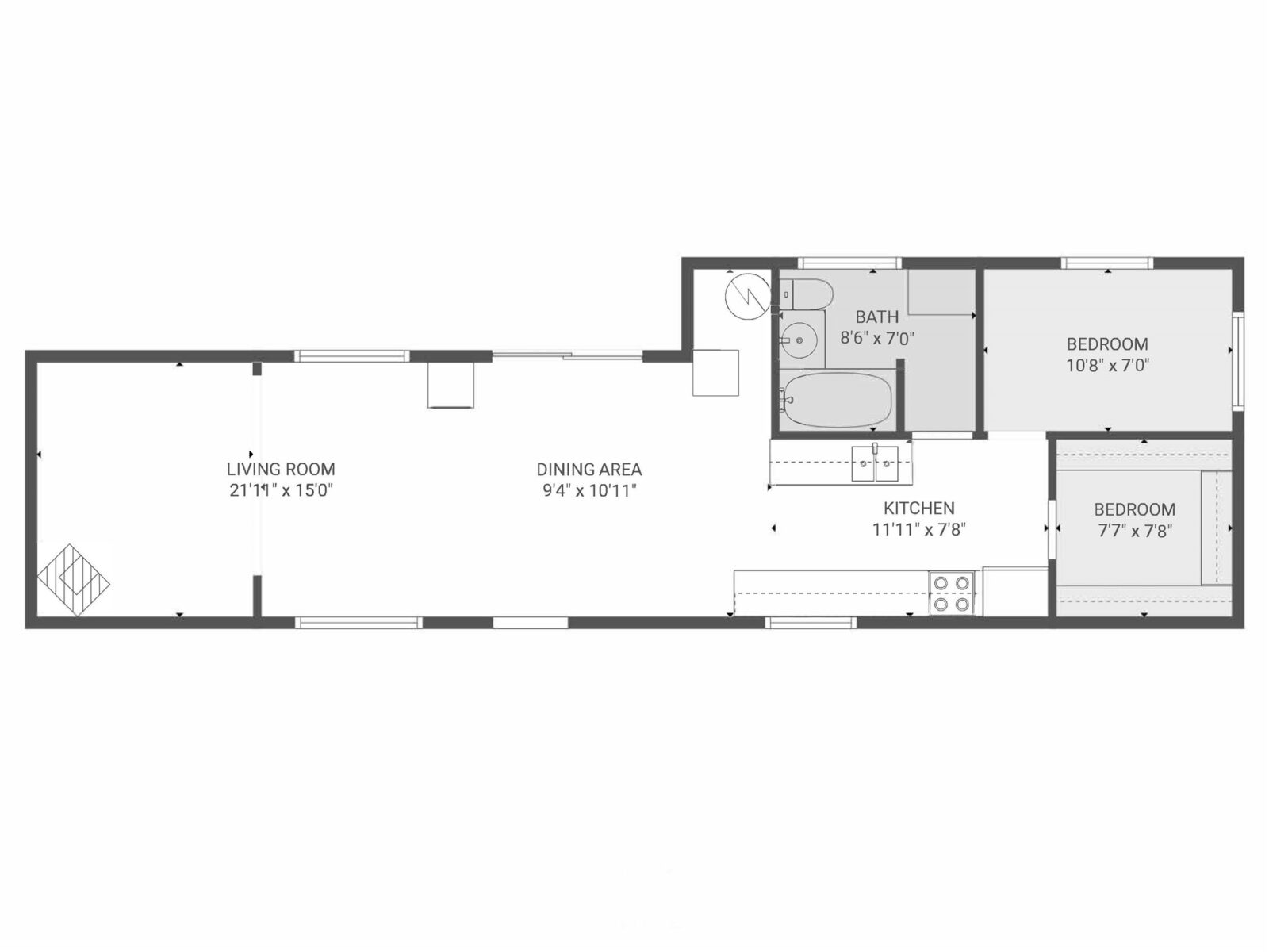
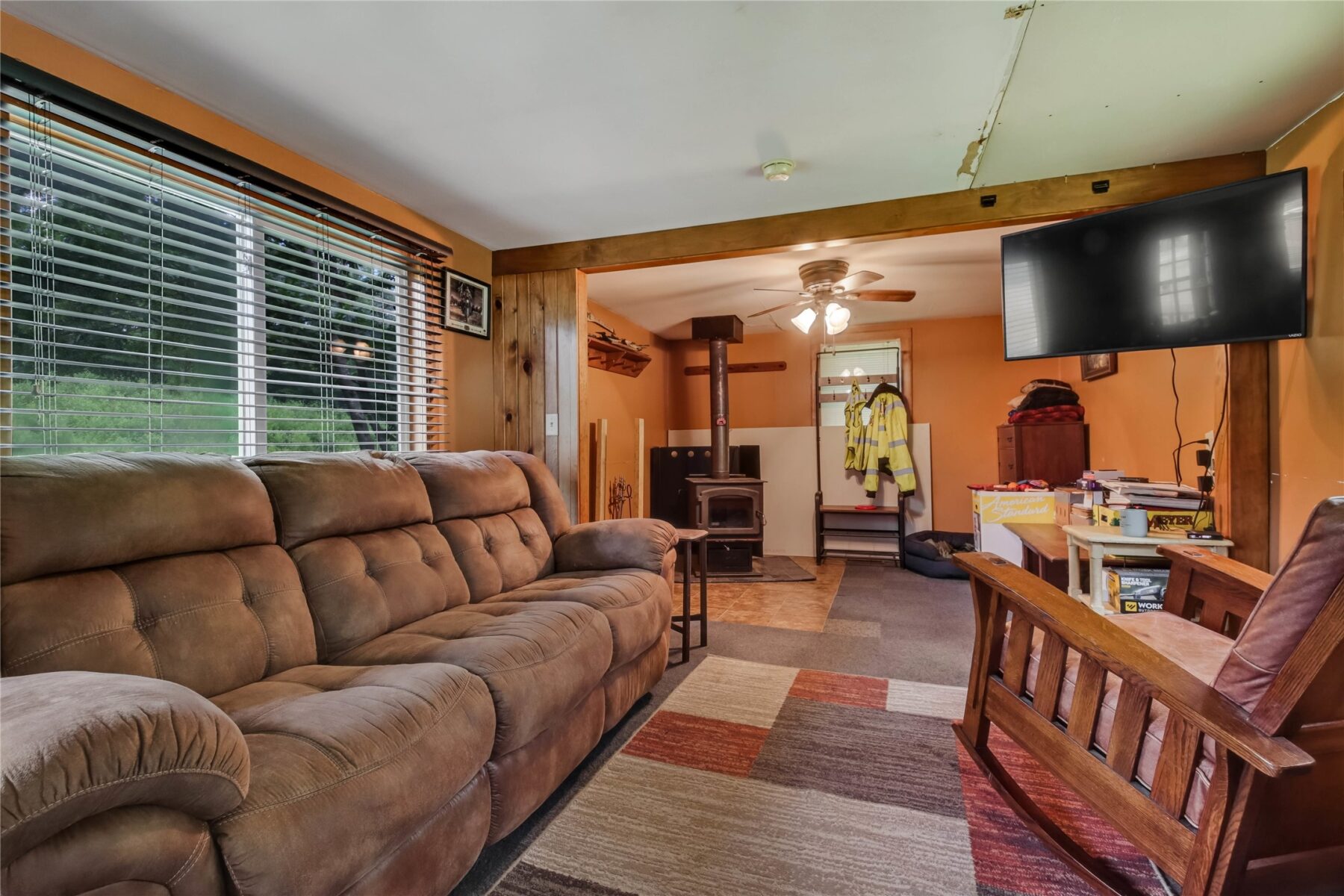
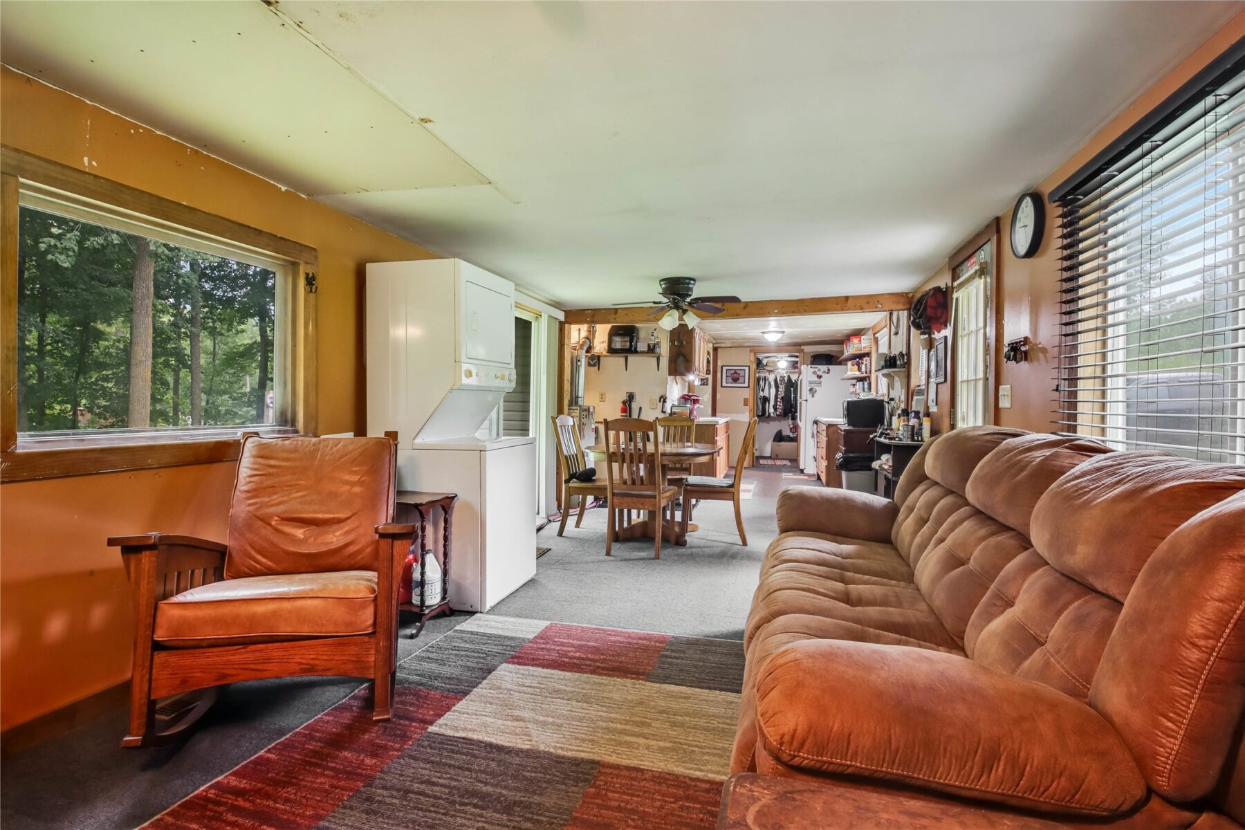
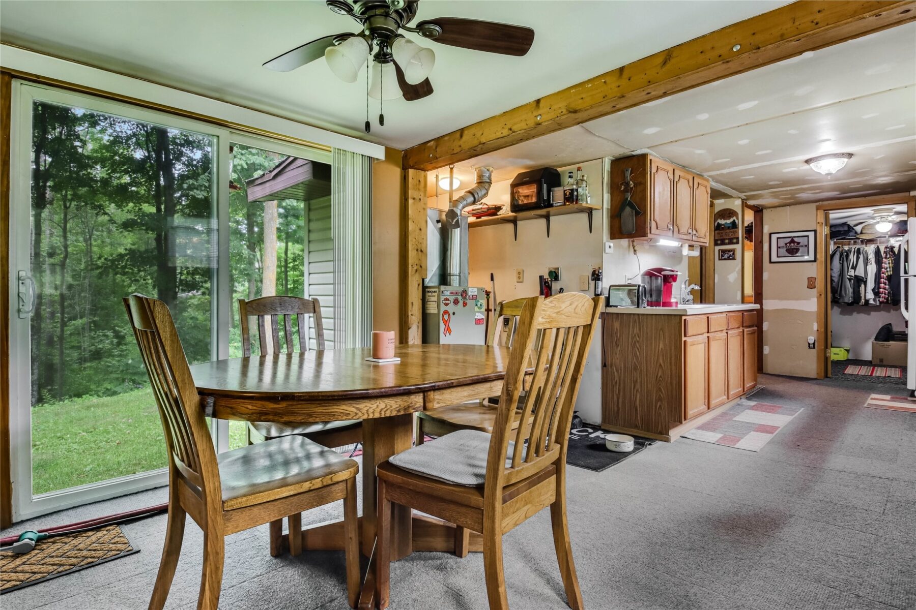
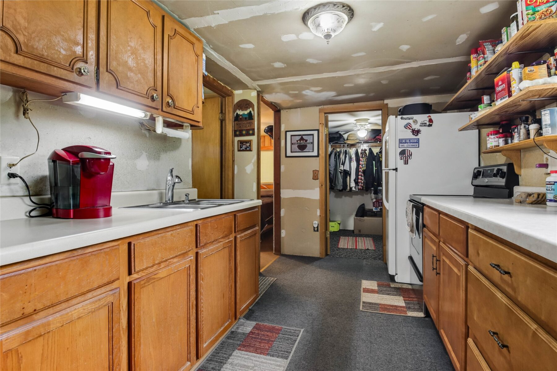
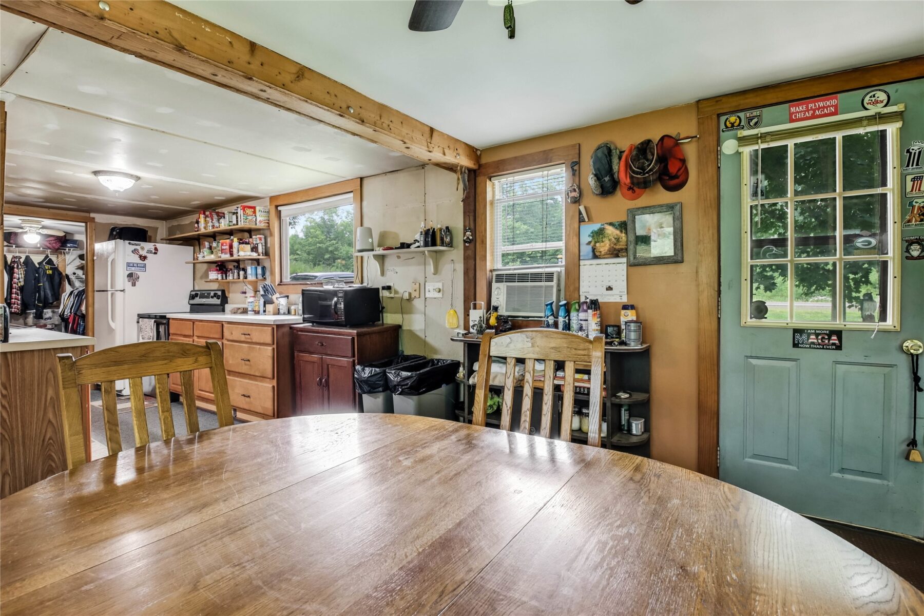
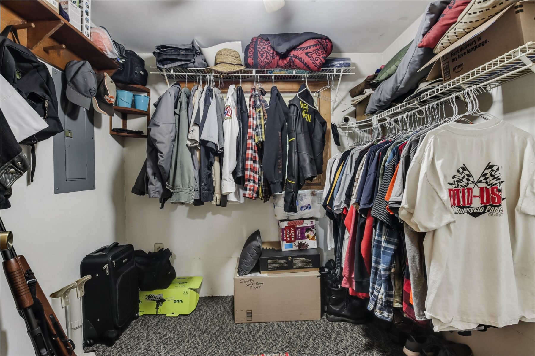
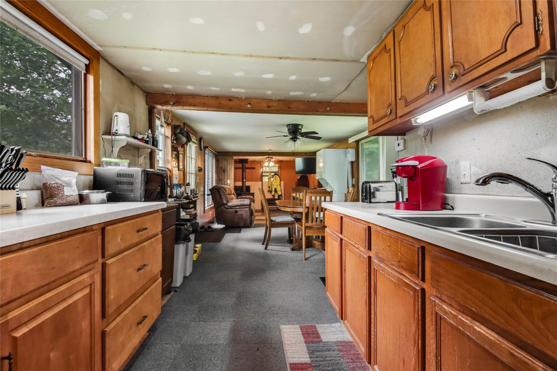
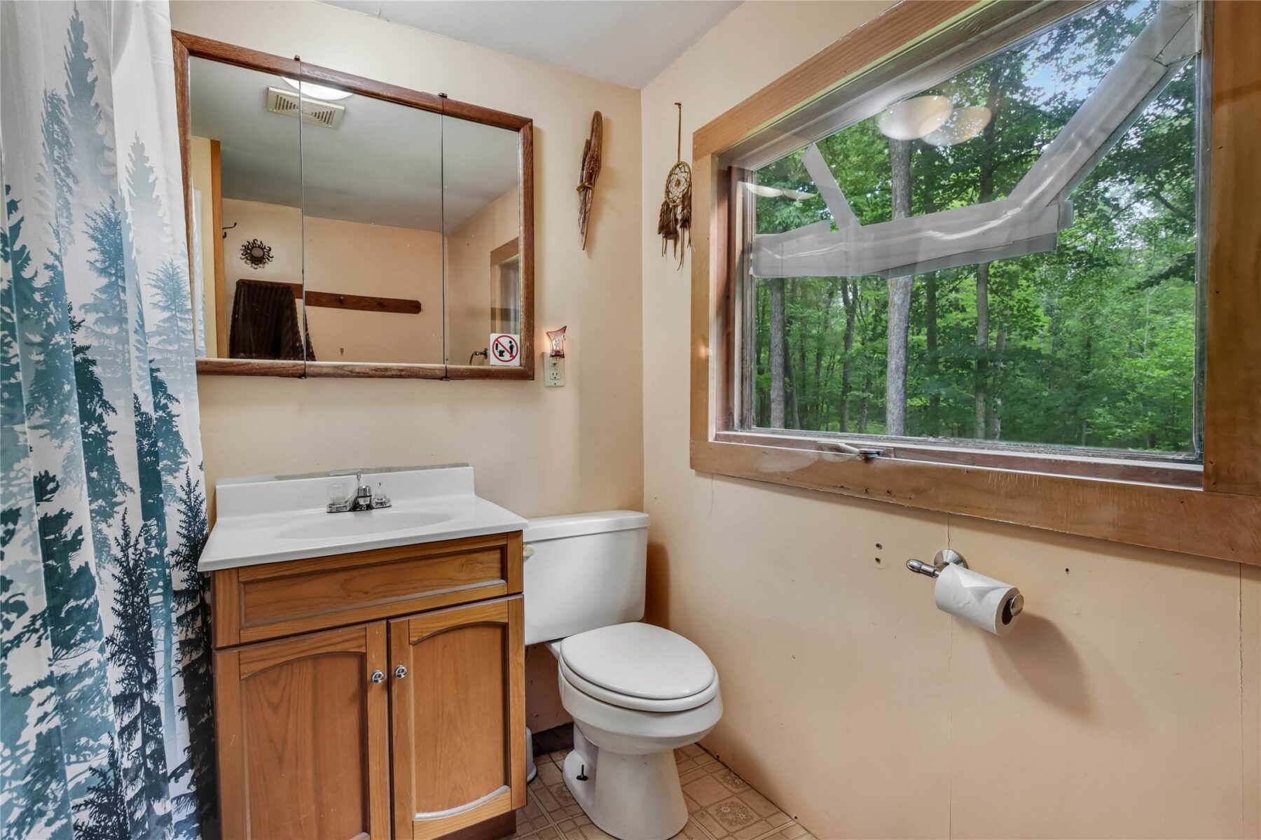
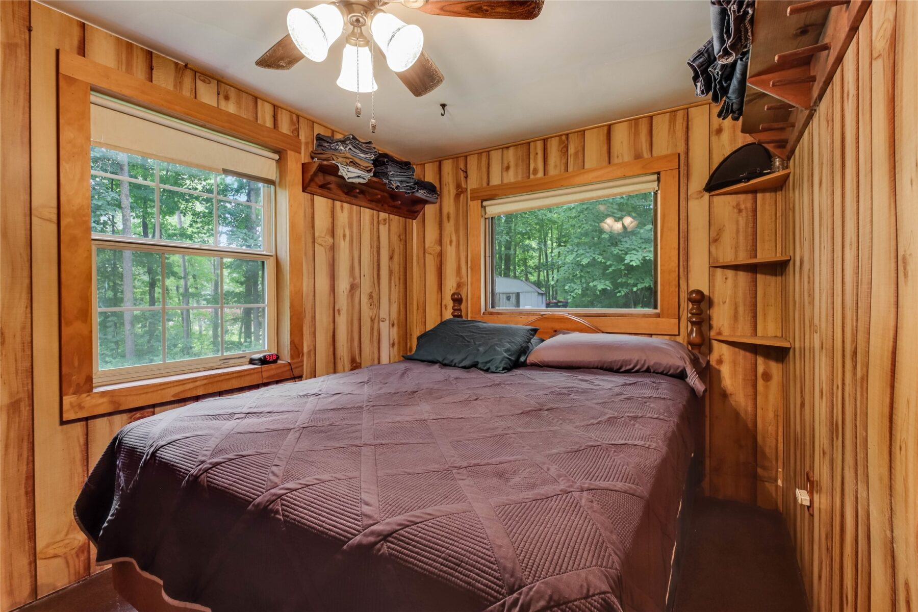
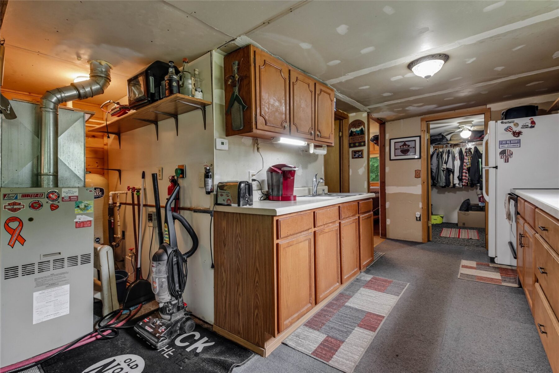
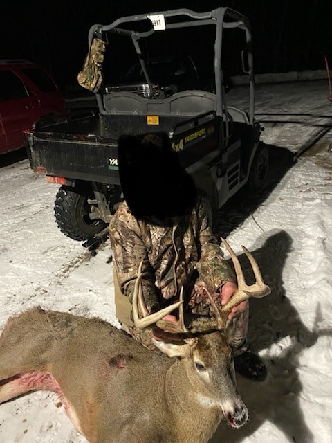
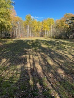
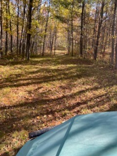
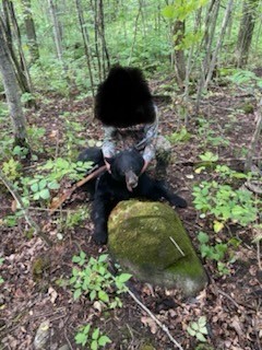
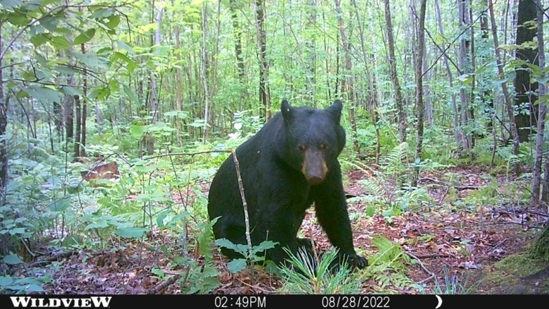
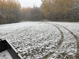
If you’ve been waiting for the “one that checks every box,” this is it: 38 acres of high-quality, buildable Northwoods ground that borders 9,000+ acres of Washburn County Forest—meaning your backyard effectively opens into thousands of acres to hunt, roam, and explore. The land hasn’t been logged in over 30 years, and it shows. Mature hardwoods create a gorgeous, established forest feel with privacy and natural beauty, while also providing the kind of cover and food sources that make this a serious whitetail property—the type of place known for big-buck potential. With existing trails, a cleared area for a food plot, and nearly all high and dry acreage, you’ll appreciate how usable this land is—whether your plan is hunting, recreation, or building a future cabin/home. And then there’s the bonus: a 4-season cabin with easy road access—perfect as a hunting base, weekend getaway, or income-producing rental—with woodstove, LP gas furnace, drilled well, holding tank septic, full bath, and plenty of living space. If you want great timber, great ground, and endless public land out the back, you’ll want to see this one.
Property Details
- Possession
- Close Of Escrow
- Zoning
- Agricultural
- Water
- Drilled Well
- Sewer
- Septic Tank
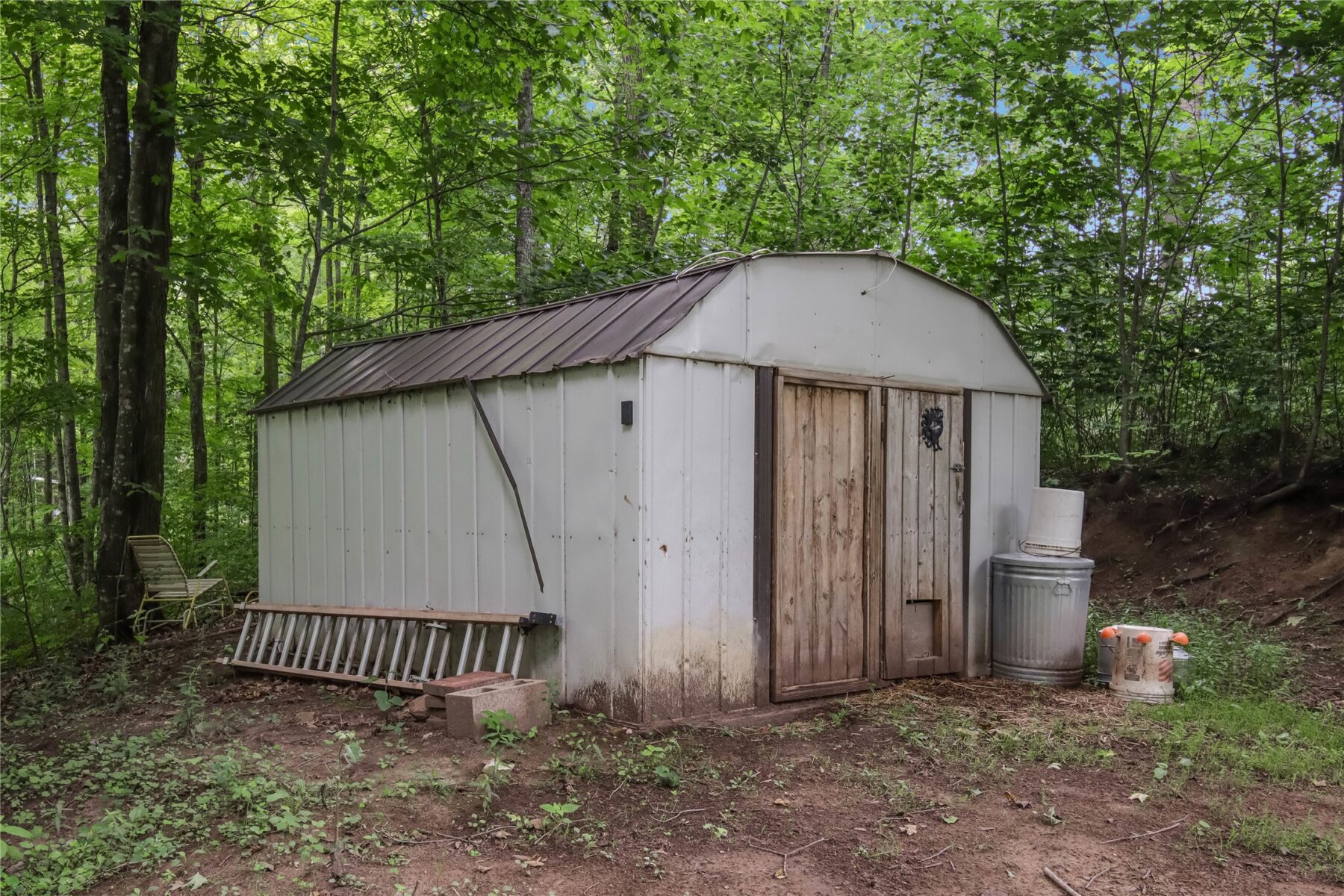
- Other Structures
- Sheds
- School District
- Spooner Area
- County
- Washburn
- Township
- Town of Stone Lake
- Directions
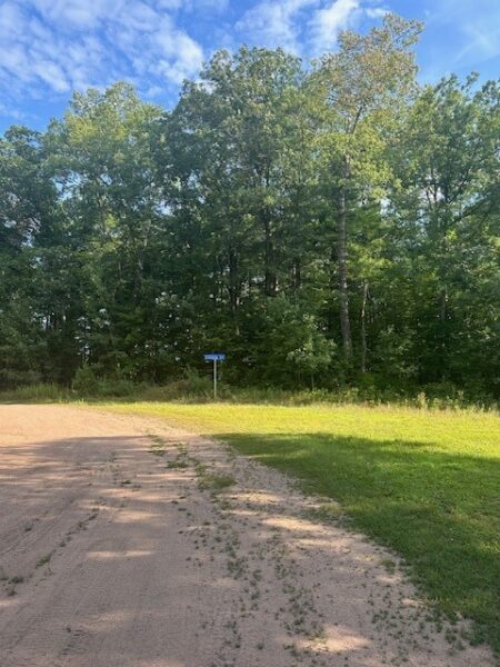
- From Spooner, go east on Hwy 70 less than 10 miles to property on left hand side of road. The best trail for access to the land is at the west edge of the property. All showings must be scheduled in Showing Time and agent must accompany buyer.
- Parcel Number
- 37062
- Listing Brokerage
- Northwest Wisconsin Realty Team
Price & Listing History
-
Apr 2026 · Listed$249,000
-
Under Contract · 123 days since listedFinal price disclosed at closing
Prior price and listing information from sources believed to be reliable, but no guarantees of accuracy and data has not been confirmed. Please confirm with county official documents.
Flood Zone
Source: FEMA National Flood Hazard Layer. Flood maps are updated periodically (typically every 5–10 years per area) and may not reflect current ground conditions or recent improvements. For mortgage purposes, your lender may obtain an official Flood Determination from a licensed firm. Always verify before making decisions.
Location
- Parks
- Boat landings
- Schools
- Golf
- Restaurants
What's Near W2294 Hwy 70, Spooner, WI 54801
Nearby Parks
- 4.7 mi
- 5.8 mi
- 6.3 mi
Nearby Boat Landings
- 7 mi
- 8.7 mi
- 9.3 mi
Nearby Bike Trails
- 11.3 mi
- 11.5 mi
Nearby Golf Courses
- 5.4 mi
Nearby Restaurants
- 5.8 mi
- 5.9 mi
Local Spotlight
- 17.6 mi
Spooner Area Schools
School information is sourced from public NCES data (assigned public schools from attendance-boundary data; nearby private schools and colleges by distance) and may change. Confirm directly with the school or district before relying on it.
Mortgage Calculator
More Land Listings near W2294 Hwy 70 Spooner, WI 54801