Pending
 Pending
 Pending
 Pending
 Pending
 Pending
 Pending
 Pending
 Pending
 Pending
 Pending
 Pending
 Pending
 Pending
 Pending
 Pending
 Pending
 Pending
 Pending
 Pending
 Pending
 Pending
 Pending
 Pending
 Pending
 Pending
N4385 Red Oak Lane, Stone Lake, WI 54876
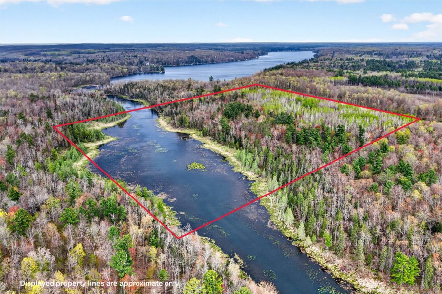
3.08 acres
MLS# 1600395
About N4385 Red Oak Lane, Stone Lake, WI 54876
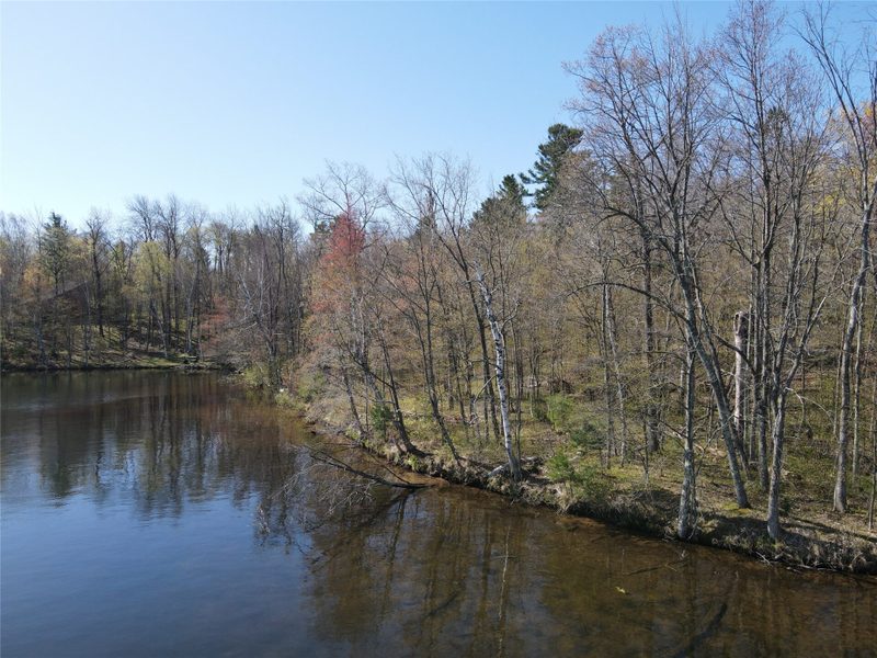
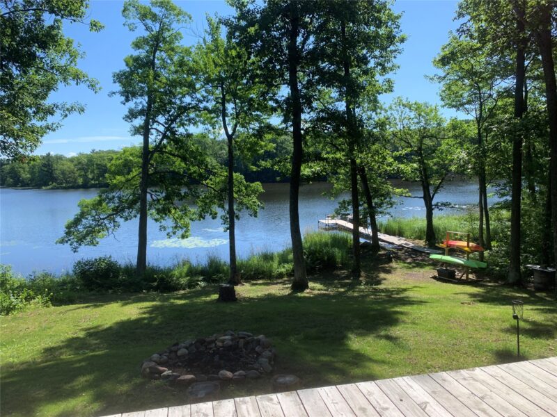
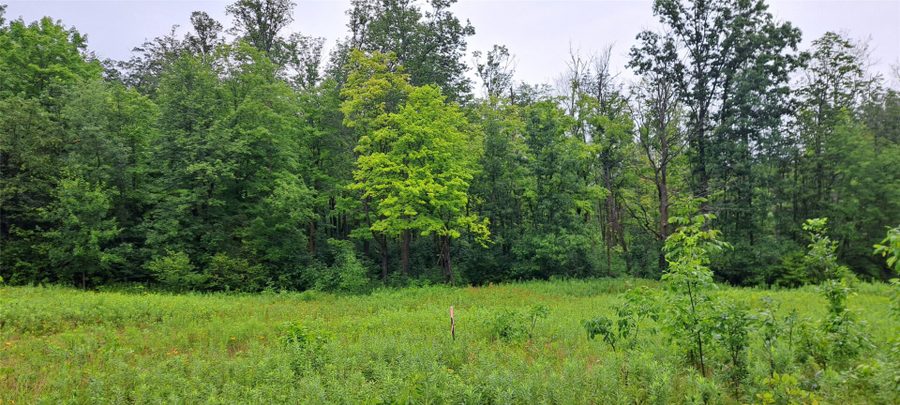
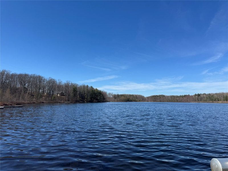
Discover the serenity of Slim Lake with these beautifully wooded lake lots totaling 3 acres and 300 feet of frontage on this clear, deep-water lake.
The shoreline features a hard sand bottom, perfect for swimming, while Slim Creek meanders through the property adding natural charm.
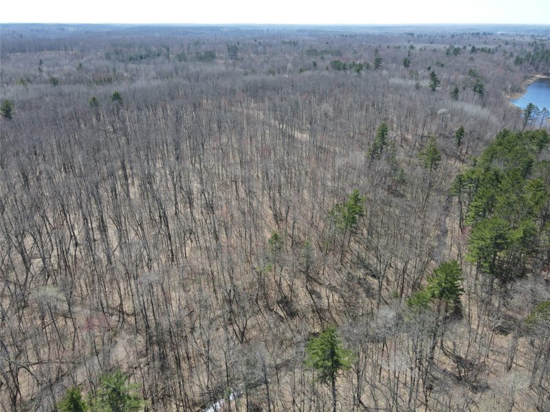
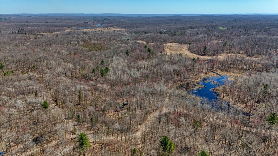
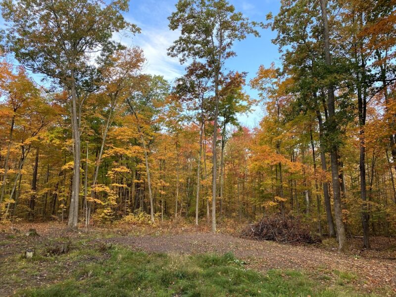
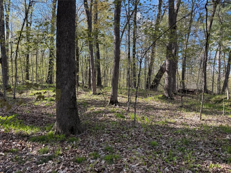
The forested portions are mature timber with massive white pine, oak, and maple.
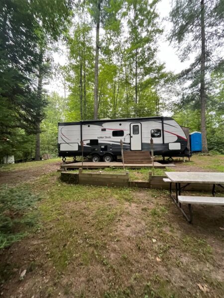
A private driveway leads to a cleared site ideal for building or camping, with low elevation to the water for easy access.
The property includes a 22×40 post-frame building with concrete floor, power, and doors on both end.
The land sits on a quiet dead-end road with direct access to ATV and snowmobile trails.
Just a half mile away, you’ll find over 10,000 acres of Washburn County Forest.
Mosaic fiber optic internet is planned for 2025.
At about a two hour drive from the Twin Cities Metro, it’s an easy commute.
Come check out this phenomenal opportunity at lake life in scenic Washburn County, Wisconsin!
Property Details
- Lot Dimensions
- 1 x 1 x
- Zoning
- Residential
- Waterfront
- Lake
- Water Frontage
- 300 ft
- School District
- Spooner Area
- County
- Washburn
- Township
- Town of Birchwood
- Directions
- From Highway B, turn South onto Birchwood Fire Lane, drive 3.5 miles, then turn North onto Gallager Road, then left onto Red Oak Lane. Drive to the dead end, look for signage.
- Parcel Number
- 5804
- Legal Description
- 5804: PT GOV LOT 2 L 11 CSM #1708 V 7 P 129 DOC# 402319 WD 5805: PT GOV LOT 2 L 12 CSM #1708 V 7 P 129 DOC# 402319 WD
- Listing Brokerage
- Timber Ghost Realty LLC
Price & Listing History
-
Apr 2022 · Listed$262,000
-
Apr 2022 · Sold · 25 days on market$245,000
-
Apr 2026 · Listed$299,000+22.0% above last sale $245,000 in 2022 (+$54,000 over 4.0 years · +5.1% per year)
-
Pending · 55 days since listedFinal price disclosed at closing
Prior price and listing information from sources believed to be reliable, but no guarantees of accuracy and data has not been confirmed. Please confirm with county official documents.
Flood Zone
Source: FEMA National Flood Hazard Layer. Flood maps are updated periodically (typically every 5–10 years per area) and may not reflect current ground conditions or recent improvements. For mortgage purposes, your lender may obtain an official Flood Determination from a licensed firm. Always verify before making decisions.
About Slim Lake
This property is on Slim Lake, a lake in Washburn County.
Public access: Public boat access available.
View Slim Lake on the WI DNR lake portal →
Source: Wisconsin DNR · lake data as of May 2026. Lake information is provided for general reference only and may not reflect current conditions. Verify independently before making decisions.
Location
- Parks
- Boat landings
- Schools
- Golf
- Restaurants
What's Near N4385 Red Oak Ln, Stone Lake, WI 54876
Nearby Parks
- 2.3 mi
- 2.9 mi
- 3.8 mi
Nearby Boat Landings
- 9.2 mi
- 12.4 mi
- 12.6 mi
Nearby Golf Courses
- 7.2 mi
Nearby Restaurants
- 2.3 mi
- 3.7 mi
Local Spotlight
- 15.6 mi
Stone Lake Area Schools
School information is sourced from public NCES data (assigned public schools from attendance-boundary data; nearby private schools and colleges by distance) and may change. Confirm directly with the school or district before relying on it.
Stone Lake Property Taxes
- Annual tax
- $5,275.00 (2025)
- Parcel #
5804- County
- Washburn
Legal: 5804: PT GOV LOT 2 L 11 CSM #1708 V 7 P 129 DOC# 402319 WD 5805: PT GOV LOT 2 L 12 CSM #1708 V 7 P 129 DOC# 402319 WD
Mortgage Calculator
More Land Listings near N4385 Red Oak Ln Stone Lake, WI 54876