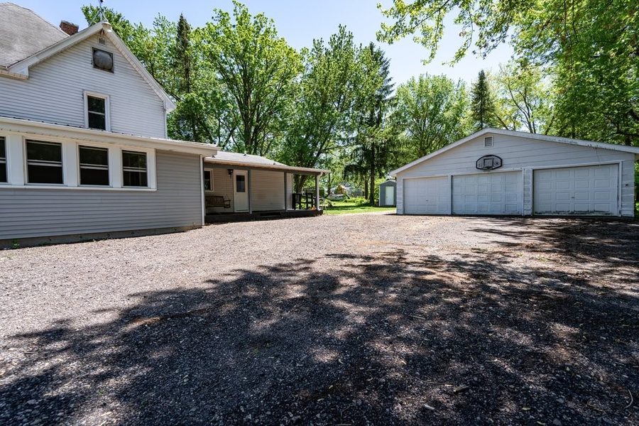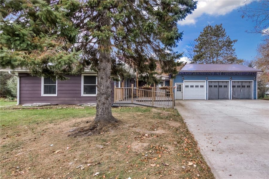
N15338 State Highway 73, Thorp, WI 54771
4 beds · 2 baths (1 Full / 1 Half) · 2,448 sqft · $133/sqft · 1.56 acres · Built 1920
About N15338 State Highway 73, Thorp, WI 54771
N15338 State Highway 73 in Thorp, WI sold in August 2025 for $324,900. The home was 4 bed, 2 bath, 2,012 sqft, built 1920. Listed at $324,900 and sold at list price after 53 days on market. Looking for similar homes in Thorp? Browse current listings →
Property Details
- County
- Clark
- Parcel Number
- 062.0355.000
Flood Zone
Source: FEMA National Flood Hazard Layer. Flood maps are updated periodically (typically every 5–10 years per area) and may not reflect current ground conditions or recent improvements. For mortgage purposes, your lender may obtain an official Flood Determination from a licensed firm. Always verify before making decisions.
Location
- Parks
- Gas
- Schools
What's Near N15338 State Hwy 73, Thorp, WI 54771
Nearby Parks
- 6.9 mi
- 12 mi
- 12.6 mi
Thorp Area Schools
- Elementary
- Thorp Elementary (PK-08)
- Middle
- Thorp (district-wide)
- High
- Thorp High (09-12)
Nearby private schools
- Thorp Catholic School 1.1 mi · Thorp
- Thorp Mennonite School 2.1 mi · Thorp
- Bruce Mound Parochial School 2.8 mi · Thorp
- Pleasant Valley Mennonite School 4.5 mi · Thorp
School information is sourced from public NCES data (assigned public schools from attendance-boundary data; nearby private schools and colleges by distance) and may change. Confirm directly with the school or district before relying on it.
More Homes near N15338 State Hwy 73 Thorp, WI 54771